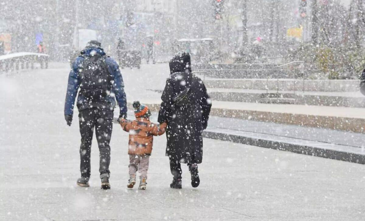
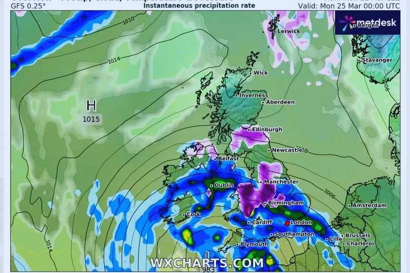
Newcastle, Manchester, and Leeds are poised to experience an influx of snowfall measuring up to 3cm per hour starting from March 20, as per data provided by WX Charts sourced from Met Desk.
Snowfall Forecasts
The Snowstorms are expected to be most severe around March 24, affecting not only Newcastle, Manchester and Leeds, but also parts of Scotland, the North, Wales and the West Midlands. The Met Office, meanwhile, has issued a forecast for the possibility of windy snow showers next week from March 15 to 25.
Scattered showers may occur in most areas, with some northern regions experiencing wintry conditions, especially over higher ground. Southern regions, however, may face prolonged periods of rain.
James Madden from Exacta Weather predicts a potentially very cold period. He suggested that the sudden warming of the stratosphere (SSW) currently underway could trigger a cold snap and widespread snowfall throughout the UK and Ireland from 18 March onwards, through to Easter and early April.
Temperatures are expected to drop to a little above average for this time of the year. The weather pattern remains unsettled, with intermittent periods of sunshine and rain. Western areas are expected to experience heavier rainfall, while the south and east may remain relatively dry.
Met Office Latest Weather Update
The UK dawned to a cloudy and wet Tuesday. The reason for this gloomy weather? Well, a frontal system moved in from the west, causing heavy rainfall, notably over the western parts of England and Wales. This downpour is now moving eastwards, picking up the heaviest rainfall in the east of England, particularly in East Anglia and the south-east.
Expect the rain to persist with cloudy skies dominating the scenery. While there may be brief respites from the rain, the sun will be scarce. However, it’s going to be relatively mild as warmer air moves in from the south-west.
Maximum temperatures of around 14 degrees are expected in the south-west, with slightly cooler temperatures as you head north. However, increasing winds may cause the air to feel chilly despite the mild temperatures.
Heading out this afternoon? 🤔
You will likely need a ☂️
There will be patchy outbreaks of rain or drizzle for many, but it will be mild once again 🌡️ pic.twitter.com/qSmYJAD6y8
— Met Office (@metoffice) March 12, 2024
Evening Forecast
By evening, conditions will remain cloudy with scattered showers over central, southern and eastern England, as well as parts of Wales. Overnight, most regions are likely to remain dry, albeit under a thick layer of cloud.
Scotland and Northern Ireland, meanwhile, will experience persistent heavy rain, which will spread to parts of northern England and northern Wales by Wednesday morning.
Forecast for Wednesday
Tomorrow, a frontal system will slowly make its way southwards, leaving the north of England and a large part of Wales under its soaking embrace. The regions of central and southern England, as well as southern Wales, will enjoy a little break, but under persistent cloud cover.
The North-East will see a glimmer of sunshine, particularly on higher ground. Winds aside, these pockets of sunshine may hold some pleasant surprises as temperatures climb to 15 or even 16 degrees Celsius.


