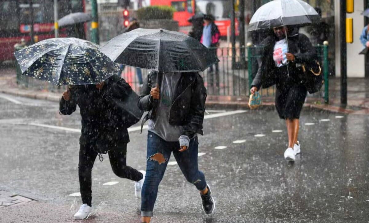
Get prepared to layer up this week as colder weather sets in across the UK. According to the Met Office, temperatures are set to fall as upcoming weather fronts bring persistent rain and misty conditions.
Say Goodbye to The Sun
If you enjoyed Monday’s brief sunny breather, make the most of it, because the warmth is fading fast. On Tuesday, the rain showers will make a comeback with the arrival of weather systems from the Atlantic. These unwelcome arrivals are here to stay all week, bringing rain and winds which threaten to cause flooding.
Temperatures, while hovering around average for this time of year, dropping into single digits in some places, may feel colder with the wind and rain. The unsettled weather is set to continue throughout the weekend, so expect more of the same and snow by Friday.
Increased Threat of Flooding
A series of low-pressure systems over the next few days is increasing the risk of flooding, particularly in parts of Wales and the south-west of England, which have already received a lot of rain this season. As the soil becomes increasingly saturated, the excess water will have nowhere to go, creating dangerous conditions.
Meanwhile, the active jet stream behind this unstable weather means that conditions can change rapidly. Brief dry spells are possible, but further rain is to be expected. The colder air following Tuesday’s warm front will make for very cool weather towards the end of the week.
Rainy Weather Across the UK
Rain showers will be widespread across most of the UK this week, courtesy of several low-pressure systems hovering over the Atlantic. As these weather fronts drift eastwards, expect periods of rain and strong winds. On Tuesday, a brief dry spell will precede the arrival of the next series of showers in the evening.
While Monday was unseasonably mild, colder air is moving in behind Tuesday’s cold front. Maximum temperatures will struggle to reach double digits by midweek, while minimums will be close to freezing. So pack an extra layer if you’re going out, especially in the morning.
A dry end to the day for most, especially in the south 🌤️
Some showers pushing across Scotland and northern England 🌦️
Staying mild across all parts pic.twitter.com/yaWIwEVad2
— Met Office (@metoffice) February 19, 2024
A Wet Mid-Week
On Wednesday, there are likely to be a series of heavy rain showers over a large part of England and Wales. The west of the country will be the hardest hit by this unstable weather, with showers at times heavy. Road conditions may deteriorate in the event of flooding, so extra caution is advised when driving. Strong winds accompany the rain, with gusts in excess of 30mph, adding an extra touch to the cooler temperatures.
Northern Ireland and Scotland will also see rain on Wednesday, but it will be less persistent. A few clear spells are possible between showers. The weather remains windy, especially in exposed areas.
Mixed Forecast for the Weekend
The outlook for the weekend remains uncertain, with low-pressure systems continuing to influence the weather. On Saturday, there could be a mix of rain, sleet and snow for some, while temperatures remain at or below freezing. However, drier and brighter weather is possible on Sunday with the arrival of high pressure.
Make sure you check the latest forecasts for your area so that you are aware of any weather warnings issued and can make the necessary arrangements.


