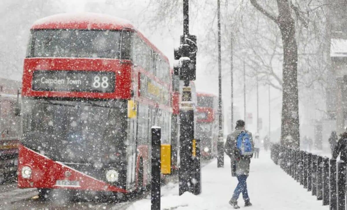
So, if you look out of your window and see the dark clouds gathering, you know it’s going to be a heavy one. A winter storm crossing the Atlantic is aimed directly at the UK and could dump considerable amounts of snow over the next few days.
A Major Snowstorm Is Heading For The UK
Severe snowfall is expected to bring travel to a standstill and close schools and businesses in large parts of the country. The latest forecast models are predicting more than 30 cm of accumulation in certain regions by the time the winds of this powerful northerly storm pick up.
The storm is approaching from the Atlantic
A huge 631-mile-wide winter storm is crossing the Atlantic and heading directly for the UK, according to the latest weather maps. The forecast is for the storm to dump up to 12 inches of snow in some areas, causing temperatures to plummet.
The storm is expected to make landfall around 24 February, initially bringing rain, but quickly turning to snow as cold air accompanies it. The northern parts of the country, particularly Scotland, are most likely to receive the heaviest snowfall.
Prepare for Cooler Conditions as We’re Headed to the Weekend
Once the storm has passed, icy air will descend from the north. Temperatures are expected to drop well below average for this time of year. These icy conditions could last for several days, so be prepared for a prolonged freeze.
The weather forecast for the first few weeks of March is also uncertain. Historically, the beginning of March can be marked by unstable weather conditions as winter gives way to spring.
More rain, wind and even snow are possible as weather systems shift and cold air remains in place. The Met Office advises people to continue to take precautions against wintry weather until early March.
What Amount of Snow is Expected in the UK?
According to the latest weather models, the heaviest snowfall is likely to occur in the north of the country.
- Scotland and the north of England
Regions such as the Scottish Highlands and the hills of northern England are likely to receive up to 12 inches of snow in places. Lower-altitude cities such as Edinburgh and Newcastle are likely to receive a few more centimetres. Midweek will see the first snowfall as a weather system moves in from the Atlantic. - The Midlands and Wales
Light to moderate snow is possible even in the central regions of the UK, including the Midlands and Wales. Snowfalls of 1 to 3 inches are possible, particularly in hilly areas. Although these are small amounts, they could still disrupt travel, so residents should be prepared. - The South
Unfortunately, the southern parts of Britain, including London and the surrounding areas, are unlikely to receive any snow this time around. As the storm system moves north, the south will remain on the warmer side of the front. However, the cold air following the storm could allow a few showers to mix or turn to wet snow at times, particularly on higher ground.


