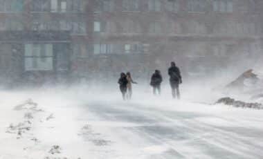
After a brief thaw, winter conditions are back in Central New York, bringing colder temperatures, lake-effect snow, and a potential mix of snow, sleet, and ice for the Thursday morning commute.
Snow Moves in Monday Night
After a mild Monday afternoon with temperatures reaching the low 40s in Syracuse, colder air returned. By late evening, much of Central New York had transitioned to snow, which tapered off shortly after midnight.
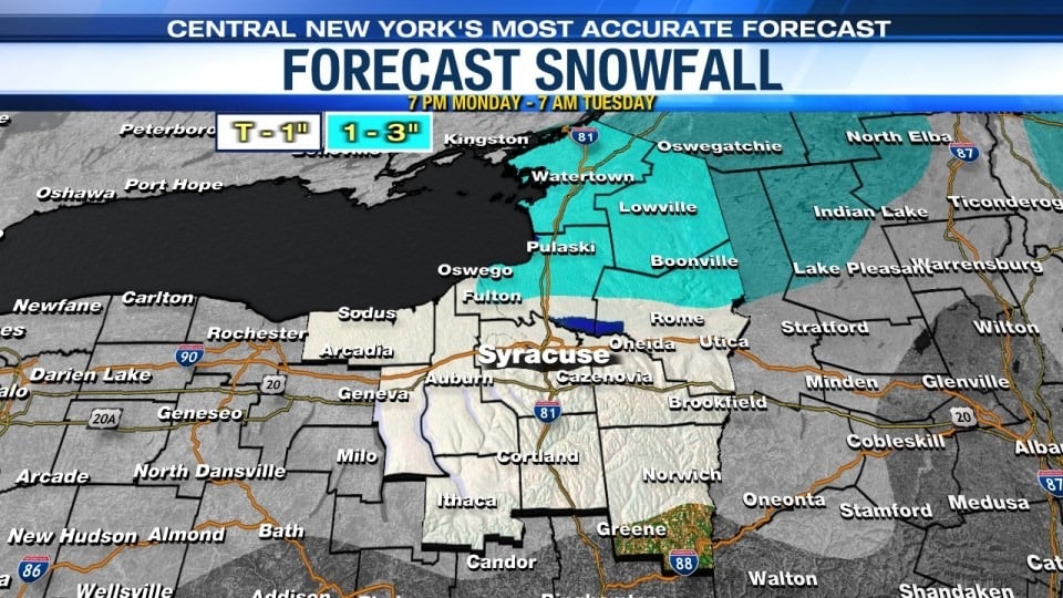
Most areas received a coating to an inch of snow, while locations east of Lake Ontario and into the North Country saw between 1 and 3 inches. Overnight temperatures dropped into the mid-20s to near 30°F by early Tuesday morning.
Colder Air and Lake-Effect Snow Tuesday
As the cold front moves through, temperatures will fall from the upper 20s to low 30s early Tuesday into the low to mid-20s by the afternoon. Wind chills will drop to near 10°F by the end of the day.
The colder air is expected to trigger lake-effect snow showers, primarily around midday. Most areas could see a light accumulation of up to an inch.
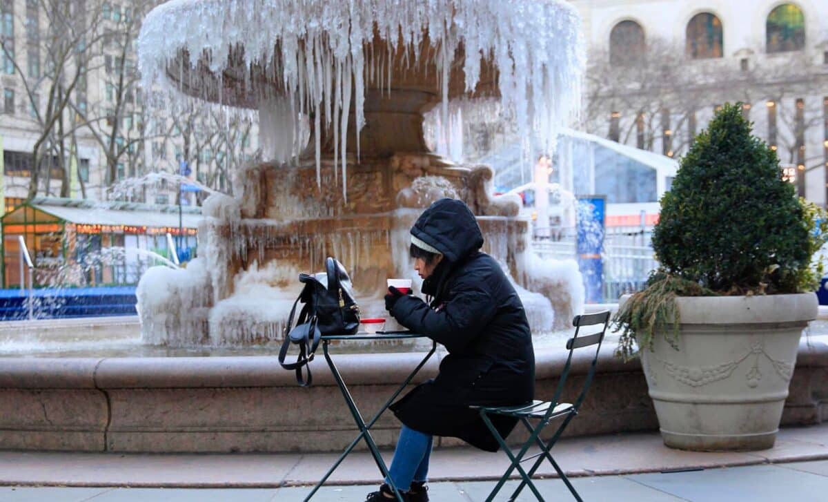
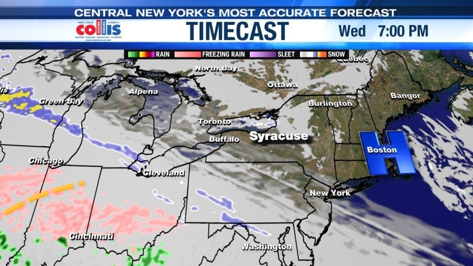
Frigid but Quieter Midweek
Tuesday night into Wednesday will be cold but mostly quiet, aside from a few lingering snow showers and flurries off Lake Ontario. Overnight lows will dip into the single digits and low teens, with highs only reaching the low to mid-20s by Wednesday afternoon.
A Messy Thursday Morning Commute?
While Wednesday night looks dry, conditions could change quickly by early Thursday morning. Temperatures are expected to be in the mid-20s to near 30°F, which could allow for a wintry mix of snow, sleet, and freezing rain before precipitation changes to rain later in the morning as temperatures rise above freezing.
A few inches of snow and sleet, along with a glaze of ice, could make for hazardous travel conditions during the morning commute. However, forecast details regarding precipitation type and amounts remain uncertain, and further updates will be necessary as the system approaches.
Looking Ahead
Beyond Thursday, temperatures may moderate slightly, but fluctuating winter conditions are likely to continue in the region. Stay updated on forecasts, especially regarding the potentially slick conditions Thursday morning.
Click here for the latest 7 day forecast from the Storm Team.