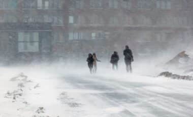
A wave of winter weather continues to impact the region, bringing a mix of cold temperatures, lake-effect snow, and a potentially messy Thursday morning commute. While the midweek period starts off relatively quiet, a shift to milder air will introduce a mix of precipitation before colder conditions return to end the week.
Lingering Lake-Effect Snow and Cold Temperatures
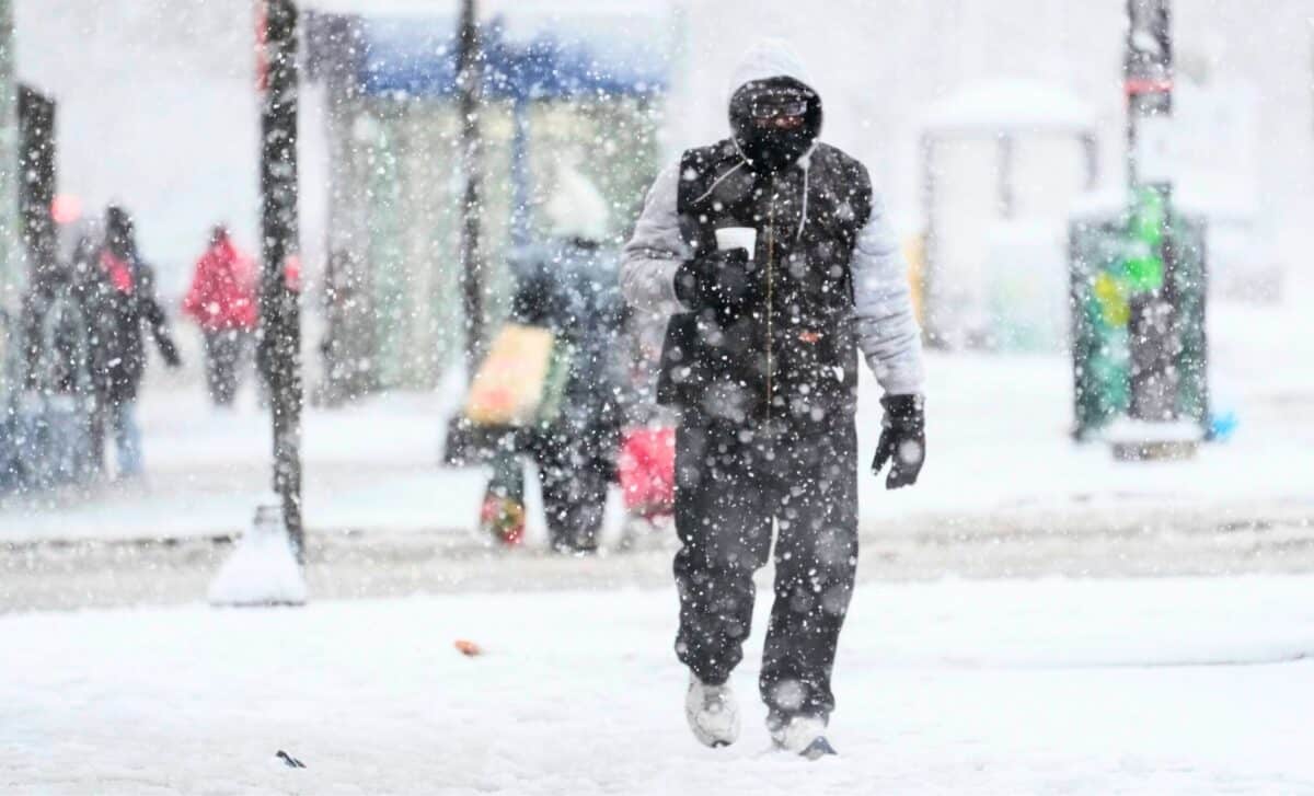
Cold air remains in place tonight, with low temperatures dropping into the single digits and low teens. A few snow showers and flurries are expected off Lake Ontario, though accumulations should remain minor.
Wednesday will see an improvement in sky conditions, with brighter skies expected. However, temperatures will stay below average, with afternoon highs only reaching the low to mid-20s. Despite the sunshine, wind chills will make it feel even colder.
Messy Thursday Morning Commute
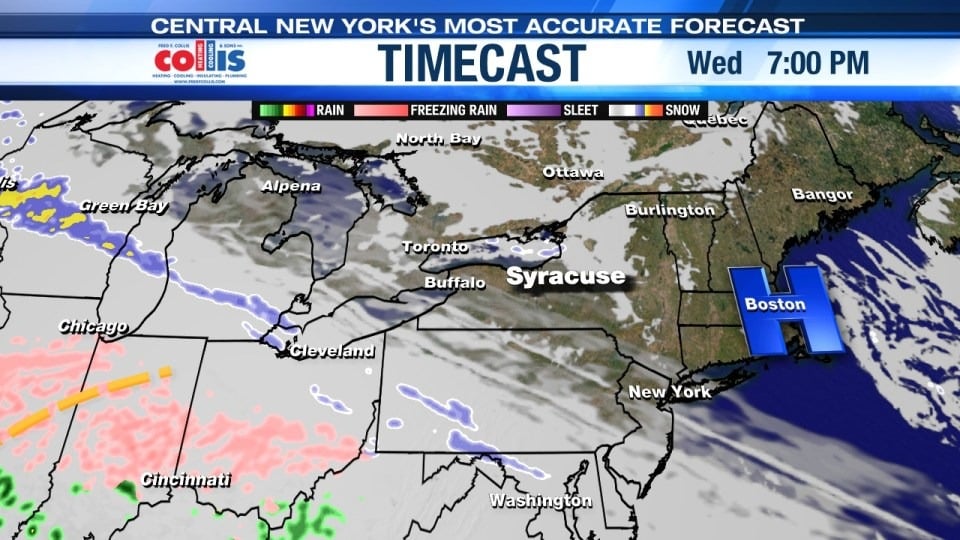
A developing system will push a wintry mix into the region early Thursday morning, between 6 and 8 AM. This will likely bring a mix of snow, sleet, and possibly freezing rain, leading to slick and sloppy road conditions for the morning commute.
Expected accumulation
- A few inches of snow and sleet could accumulate before a transition occurs.
- A light glaze of ice is possible, which could create hazardous travel conditions.
- As temperatures rise above freezing later in the morning, the steady precipitation will taper off to light rain or drizzle.
Forecast confidence remains moderate, with some uncertainty regarding the exact amount and type of precipitation. Travelers should monitor updates and prepare for possible delays Thursday morning.
Blustery and Snowy Friday
Following the brief warm-up Thursday, colder air returns Friday, accompanied by gusty winds and additional lake-effect snowfall. The strongest snow bands are expected to set up north of Syracuse, where Northern Cayuga and Southern Oswego counties could receive 6+ inches of snow between Friday and Friday night.
Winds will enhance blowing and drifting snow, further impacting visibility and travel conditions.
Looking Ahead
The upcoming days will bring a mix of winter weather hazards, from lake-effect snow to a potentially messy wintry mix. While temperatures may briefly rise above freezing Thursday, colder air will quickly return, reinforcing the winter pattern.
For those traveling Thursday morning, allow extra time for the commute and stay updated on potential changes in precipitation timing and intensity.
Click here for the latest 7 day forecast from the Storm Team.