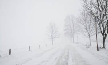
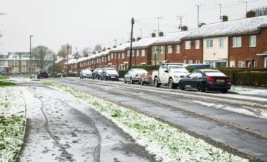
The Met Office has issued warnings for freezing rain and heavy snowfall as a blast of Arctic air sweeps across the UK. While this type of weather is not unusual for colder regions, the intensity and spread of these conditions are expected to be more severe than usual, affecting both northern and southern parts of the country.
A Rare but Dangerous Phenomenon
Freezing rain, a type of precipitation that turns into ice upon contact with cold surfaces, is forecast to strike the west coast of Scotland, with a near 50-mile stretch from Armadale to Dumbarton likely to be the hardest hit. According to the Met Office, freezing rain occurs under very specific conditions, and while it is common in places like the US, it remains a rare occurrence in the UK.
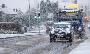
This weather phenomenon can create hazardous conditions for travellers, as the glaze of ice on roads and pavements turns them into skating rinks. Even the weight of the ice can bring down trees and power lines, causing widespread disruptions.
The predicted temperatures for Scotland this week are expected to range from -1°C to -3°C, while southern regions may experience slightly milder conditions. However, even in the south, areas like Hereford and Gloucester could see temperatures dip as low as -4°C. Local authorities have advised residents to remain vigilant for icy roads and to prepare for potential travel delays.
Widespread Snowfall to Impact UK Weather
In addition to the freezing rain, snowfall is also expected to blanket large parts of the UK this week, with snow forecasts for cities such as Birmingham, Manchester, Bristol, and Leeds. According to weather charts from WXCharts, the heaviest snow is anticipated in the northern regions, particularly Inverness and Aberdeen, where temperatures could drop to as low as -6°C.
Snowfall of this magnitude is likely to bring disruptions to transport networks, with roads, railways, and airports all at risk of delays. In areas already impacted by freezing rain, the accumulation of snow on top of icy surfaces will further increase the potential for accidents.
The Met Office’s long-range forecast from November 27 to December 6 suggests that the weather will remain unsettled, with frequent rain, snow, and strong winds expected. Gales are also a possibility, particularly in coastal regions, and the forecast warns that there could be some temporary settled periods, increasing the likelihood of frost and fog. Although conditions are expected to be milder in some areas, it’s clear that the UK is facing a significant weather challenge in the coming days.


