The Met Office is forecasting unusual weather for October with snow expected to hit parts of the UK from October 15. According to the Birmingham Mail, weather maps have already started indicating areas that may be impacted, particularly in the north of the country. This early snowstorm is set to begin late on October 15 and continue into the early hours of October 17.
While snowfall in October is not entirely rare in the UK, this event is drawing attention due to the volume expected, as well as its timing. The situation is evolving quickly, and weather patterns suggest more changes in the days to come.
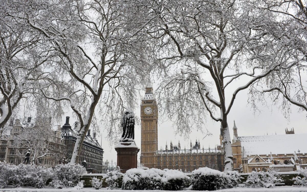
Snowfall Expected: Which Areas Will Be Affected?
This early snowfall is expected to impact parts of Scotland, particularly the Scottish Highlands and Grampian area, with Fort William and Inverness set to experience significant snow. According to the forecast, snow could accumulate at a rate of 2 cm per hour in some places, creating treacherous conditions for motorists and travelers in these regions.
The snow will begin late on October 15 and is predicted to last until the morning of October 17, bringing a two-day stretch of icy weather. While the rest of the UK might not see snow, these northern areas should be prepared for significant wintry conditions.
This early burst of snow is not a typical October phenomenon, but it serves as a reminder of the volatility of British weather. Areas that often experience heavy snowfall, such as the Highlands, are expected to be blanketed in white, marking an abrupt transition into winter-like conditions. It is likely to cause disruptions, especially in more remote areas where snow may be more difficult to clear quickly.
What Else to Expect from the Weather in Mid-October?
Looking beyond the snowstorm, the Met Office predicts that the second half of October will bring unsettled conditions. As they explain,
The latter half of October will probably see a transition to more widely unsettled conditions once more. Whether this takes the form of successive depressions moving in from the Atlantic or a rather slower evolving weather pattern remains to be seen, but there is a greater chance of more places seeing more frequent spells of rain or showers and possibly strong winds. Temperatures probably remaining close to average overall, but with a reduced incidence of chilly nights compared to earlier in the month.
These unsettled conditions will likely bring a series of rain and strong winds, especially as weather systems move across the UK. While temperatures are expected to stay near average, this could mean that the milder spells will be interrupted by sudden rain showers or gusty winds. This is particularly true for the north and west, where conditions are likely to be wetter.
Forecasts Point to Uncertainty in Late October
The BBC and the Met Office add another layer of uncertainty to the forecast between October 13 and October 26:
The following two weeks have a lot of uncertainty, with continuing chances of ex-tropical cyclones moving across the Atlantic and disturbing weather patterns.
These systems could cause sudden shifts, leading to a mixed bag of conditions throughout the month. For some areas, high-pressure systems could lead to drier-than-usual conditions, while other parts of the UK may see more persistent rainfall, especially in the north and west.
As the BBC further notes,
High pressure may become more influential again for a while, leading to drier than usual conditions for some areas, with rainfall perhaps more likely in northern and western regions than elsewhere in the UK. There could be risks of overnight fog and frost when it’s clear and calm, but there is no sign yet of any notable cold, with temperatures remaining near normal overall, or even slightly above.
This provides a mixed outlook for late October—some areas could experience dry spells, while others will see wet and windy weather.
As the month progresses, the high-pressure system may weaken, paving the way for more low-pressure systems and frontal weather.
By late October, there could be increasing chances of high pressure weakening, with Atlantic low pressure and frontal systems returning to bring wetter and windier periods back, with less risk of frost, but temperatures could be very variable – the BBC concludes.
Preparing for a Variable October: Snow, Rain, and Frost
As October progresses, the Met Office suggests the UK is likely to experience a wide range of weather conditions. The snow, starting in mid-October, is just one example of the unpredictable nature of autumn in the UK.
As high-pressure systems may re-establish themselves toward the end of the month, there will be brief periods of dry weather, but they are expected to be followed by rain and wind as low-pressure systems return. This mix of weather patterns will lead to variable temperatures, making it difficult to predict exactly what each week will bring.
For those planning outdoor activities, it’s crucial to stay updated on local weather forecasts from the Met Office, especially given the possibility of snow, fog, and frost at any point. Late October will likely bring even more challenging conditions, with increased rainfall and a return to unsettled weather patterns.
Therefore, while the snowstorm in mid-October is something to watch closely, the latter part of the month may continue to bring fluctuations in temperature and more typical British autumn weather disruptions.


