
The United Kingdom is bracing for its first snow of the autumn season, with forecasts suggesting a wintry turn across parts of Scotland in the coming days. Weather models indicate that up to 169 miles of the country could see light snow flurries, marking the earliest hint of winter after a notably mild September.
According to WX Charts and Met Desk data, the chill will spread from Inverness to Glasgow, where temperatures are set to fall close to freezing. While most of the UK will experience heavy rainfall, forecasters say Scotland’s higher ground could see the first accumulation of the season, with a couple of centimetres possible in isolated areas.
Scotland Braced for Early Snowfall
Forecasts show that the coldest temperatures are expected to hit northern and central Scotland around October 22, with a potential dusting of snow stretching across a 169-mile span. The WX Charts projections, based on the GFS model system, align with visual data from Ventusky, another forecasting platform, both pointing toward a sharp drop in temperature and early wintry showers.
Inverness, the Highlands, and regions surrounding Glasgow are the most likely to experience brief snowfalls, though meteorologists have not yet issued any official snow warnings. The data suggests that any snow accumulation will remain light and patchy, most likely confined to higher ground, with lower areas instead seeing sleet or cold rain.
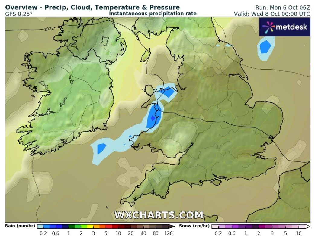
Further south, weather charts indicate that England and Wales will face a contrasting pattern of heavy rain. A deluge is expected across the Midlands and Wales, completely blanketing these regions in wet, unsettled conditions. The stark division between northern chill and southern rain marks a classic mid-autumn setup for the British Isles, as competing air masses begin to reshape the season.
Met Office Outlook: High Pressure Giving Way to Unsettled Skies
According to the Met Office, the latter half of October will bring a gradual transition from stable, dry conditions to more unsettled weather patterns. High pressure, which has dominated much of early autumn, is predicted to weaken, allowing Atlantic systems to move in. The agency’s outlook from October 21 to November 4 highlights “a greater chance of most if not all places seeing spells of rain or showers and possibly strong winds later in the month.”
While Orkney and Shetland may experience stronger winds and increased cloud cover, much of the UK will continue to see near-average temperatures, fluctuating between chilly nights and mild daytime warmth. Overnight fog is expected in some areas, clearing slowly through the morning, maintaining the patchwork of weather typical of late October.


