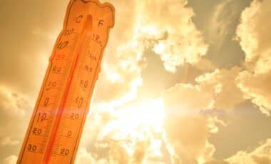
The UK has experienced an extended spell of unseasonably warm weather in recent weeks, with temperatures reaching the mid-to-high 20s in parts of England, Scotland and Northern Ireland. Sunshine and blue skies have characterised much of May, prompting widespread outdoor activity and early signs of summer.
This pattern is expected to shift dramatically from Friday, 23 May. Meteorologists anticipate a return to more typical late-spring conditions, marked by rain, increased cloud cover and near-normal temperatures. The change is visible on weather charts, with colour indicators transitioning from deep red to icy blue by the end of the week.
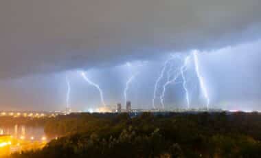
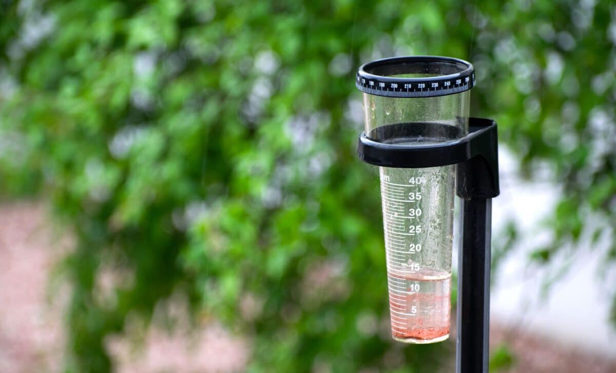
Atlantic Systems to Bring Widespread Rain and Cloud
A change in air mass from the Atlantic is expected to bring “more unsettled conditions”, according to the UK Met Office. Low-pressure systems will move across the country from the west, delivering “spells of rain to many areas, perhaps heavy at times, with a risk of strong winds in places.”
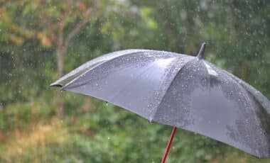
The western half of the UK will likely be most affected, while the east could experience occasional dry intervals between systems. The Met Office suggests that while “drier and brighter intervals are likely between systems,” the dominant pattern for the remainder of May will be cloudier and wetter than the preceding weeks.
This marks a sharp contrast with the previous spell of weather, which saw many regions basking in prolonged sunshine. James Madden of Exacta Weather noted that temperatures during the recent warm spell had reached the “mid-to-high 20s at the very least,” describing it as “unusually” warm for the time of year, particularly in northern regions.
Temperatures Returning to Seasonal Norms Into Early June
Looking ahead to early June, the Met Office predicts that conditions will remain “changeable”, with alternating spells of wet and dry weather. Their outlook from 1 to 15 June notes that “temperatures will probably average out around normal,” with western regions remaining wetter, and eastern areas seeing relatively less precipitation.
Despite the return to average spring conditions, occasional warm periods are still possible. The Met Office warns that “some very warm or even hot spells are still possible, as normal for the time of year,” suggesting the potential for temperature spikes amid a generally cooler trend.
For now, however, the consensus is clear: the UK’s early summer burst is ending, and typical British spring weather—grey skies, intermittent rain, and moderate temperatures—is on its way back.