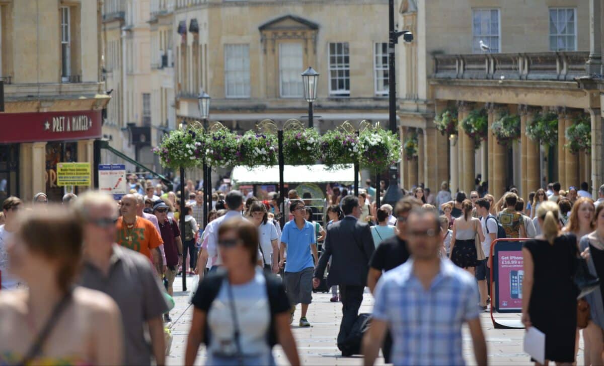
Warm conditions are forecast to grip parts of the UK from 18 to 20 June, with southern and central England expected to see highs of up to 32°C. Weather models predict the hottest period will arrive on 19 June in the late afternoon.
A period of significantly higher-than-average temperatures is set to develop across the UK in mid-June, with forecasts indicating the presence of a heatwave lasting 72 hours. The event will primarily impact England, where regions may see the mercury rise well above the seasonal norm.
The temperature spike comes amid a stretch of variable early-summer weather, characterised by persistent low pressure systems to the northwest of the British Isles. These conditions are now expected to shift, allowing for warmer air to move in from continental Europe.
Warm Air Mass to Push Temperatures Above Seasonal Average
According to WX Charts meteorological maps, a heatwave is forecast to begin around midday on Tuesday 18 June, continuing through to 6pm on Thursday 20 June. Temperature projections for this three-day period show daytime highs across England reaching between 28°C and 32°C, particularly across central and southeastern counties.
The heat is expected to peak around 6pm on Wednesday 19 June, when widespread areas across the south and east of England could experience the highest temperatures of the event. Weather charts illustrate deep orange and red zones over these regions during the hottest intervals, suggesting intense surface heating and sustained sunshine.
This upcoming hot spell follows a series of unsettled days marked by cloud cover and patchy rain, especially across northern England, Wales, and parts of Scotland. The BBC Weather Centre reports that conditions will turn increasingly dry ahead of the heatwave, with clearer skies forecast for the southeast and eastern areas of the UK.
Variable Conditions to Return After Peak Heat
While the heatwave is expected to dominate the midweek weather pattern, conditions are forecast to shift towards more unsettled weather by Friday 21 June.
According to the BBC’s medium-range outlook, heavy, possibly thundery showers are likely to develop late Thursday into Friday, especially in southern and central England. The northern regions, including Scotland and Northern Ireland, may remain relatively drier but could still experience isolated rainfall.
Looking further ahead, the BBC’s forecast for 23 June to 6 July suggests a return to generally warm and settled conditions for much of the UK. Nonetheless, Scotland and Northern Ireland could continue to see slightly wetter and windier patterns, influenced by low pressure lingering between Iceland and Scandinavia.