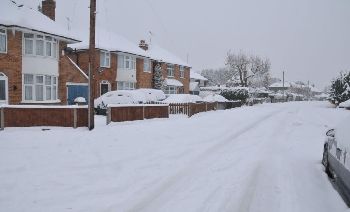
With mild conditions quickly fading, a sudden shift in the UK’s weather pattern could see widespread snowfall and sub-zero temperatures in parts of the country. Forecasters are warning of potential blizzards and icy conditions, with some regions at risk of temporary disruption as a strong Arctic front pushes southwards.
Snowfall and Mixed Precipitation Expected across Large Parts of the UK
Forecast models from WX Charts show a significant drop in temperature beginning early Friday, 19 December, as a wintry front moves in from the north. Snow is expected to begin falling in the Scottish Highlands and parts of Cheshire from around 3 a.m., rapidly spreading south and west in the following hours.
By mid-morning, blizzard-like conditions are forecast in areas such as Blackpool, Yorkshire, and parts of north-west and south-east Wales, according to the data. Snow coverage is also projected across northern England, including Manchester and Stoke, with a mix of rain and sleet hitting cities further south.
While London, Birmingham, and Bristol are not expected to receive snow, heavy rain is likely throughout the day. The maps show the snow could continue into the afternoon, particularly across the north of England, Scotland, and Wales, although the volume of accompanying rainfall raises uncertainty over how much of the snow will actually settle.
The Met Office, in its long-range forecast for 13–22 December, notes that “whilst it will often be mild, later in the period there may be a slight downward trend in temperature, especially across northern parts of the UK where there may also be a slightly higher chance of some wintry hazards at times.”
On 20 December, the cold front is expected to extend further south. Forecasts suggest snow flurries could reach as far as Devon in the southwest, raising concerns over potential travel disruption across southern counties. Despite the widespread coverage, the wintry spell is not expected to last long.
Short-Lived Cold Spell Likely as Temperatures Rebound
While the Arctic blast marks a sharp departure from the recent mild spell, it appears unlikely to persist. By the weekend following 20 December, temperatures are forecast to rise sharply above seasonal averages, reducing the likelihood of a white Christmas for most parts of the UK.
According to WX Charts, much of the snow could be washed away by accompanying rain, particularly in lowland regions. The weather service’s models indicate that many areas, including major cities, will see predominantly wet conditions rather than sustained snowfall.
This aligns with the Met Office’s broader December outlook, which suggests a continuation of unsettled weather patterns: “Frontal systems from the Atlantic spread into and across the UK, interspersed with some temporary drier interludes.”
Earlier this week, temperatures reached 14°C in parts of southern England, including Teddington and Chelmsford, despite the presence of Storm Bram, which brought strong winds and power outages to some regions.
Odds for a white Christmas remain low to moderate, with Aberdeen having the highest statistical chance of snow on 25 December, though recent forecasts have caused bookmakers to lengthen the odds. According to reports, probabilities now range from 7/4 in parts of Scotland to 8/1 in southern England.


