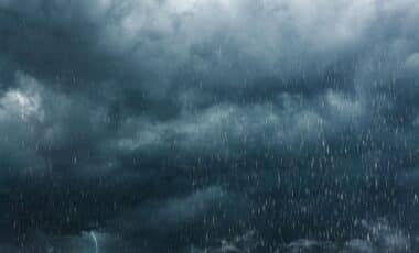
Britain is set to experience a prolonged spell of severe weather over the Easter weekend, as three separate storm systems are forecast to arrive in quick succession. Forecasters warn that a highly active jet stream will drive a sequence of low-pressure systems across the country, bringing a mix of torrential rain, strong winds and colder conditions.
The unsettled pattern is expected to last from Good Friday through to Bank Holiday Monday, with northern and northwestern regions likely to be hardest hit. According to the Met Office, the evolving conditions could lead to travel disruption and rapidly changing weather, particularly in exposed areas.
A Powerful Jet Stream Fuels a Succession of Storms
Meteorologists point to an unusually strong jet stream as the primary driver behind the incoming storms. This fast-flowing ribbon of air in the upper atmosphere has been intensified by a sharp temperature contrast across North America, where cold air in the north meets warmer air to the south.
According to Met Office meteorologist Aidan McGivern, this contrast is strengthening the jet stream as it moves across the Atlantic, allowing it to pick up and deepen areas of low pressure before they reach the UK. He explained that a developing system on Good Friday will likely bring wet and windy conditions, particularly across northern parts.
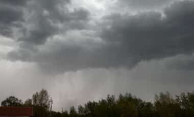
The situation becomes more concerning into the weekend. According to Met Office meteorologist Alex Burkill, a second, deeper area of low pressure is expected to intensify on Saturday and continue into Easter Day. This system may bring more severe conditions, including stronger winds and heavier rainfall.
A third system is then forecast to follow on Easter Monday, completing what forecasters describe as a “conveyor belt” of storms. According to the Met Office, all three systems are relatively deep areas of low pressure, increasing the likelihood of sustained unsettled weather over several days.
Widespread Impacts Expected Across the UK
The overlapping arrival of three low-pressure systems is expected to create challenging conditions across much of the UK, with a combination of heavy rainfall, strong winds and falling temperatures. As colder air moves in behind the main weather fronts, wintry showers are likely to develop, particularly over higher ground in the north.
According to the Met Office, this shift in air mass will lead to a noticeable drop in temperatures, with snow possible in elevated areas while lower levels remain dominated by rain and gusty winds. The contrast in conditions may lead to rapidly changing weather within short distances, especially in northern and upland regions.
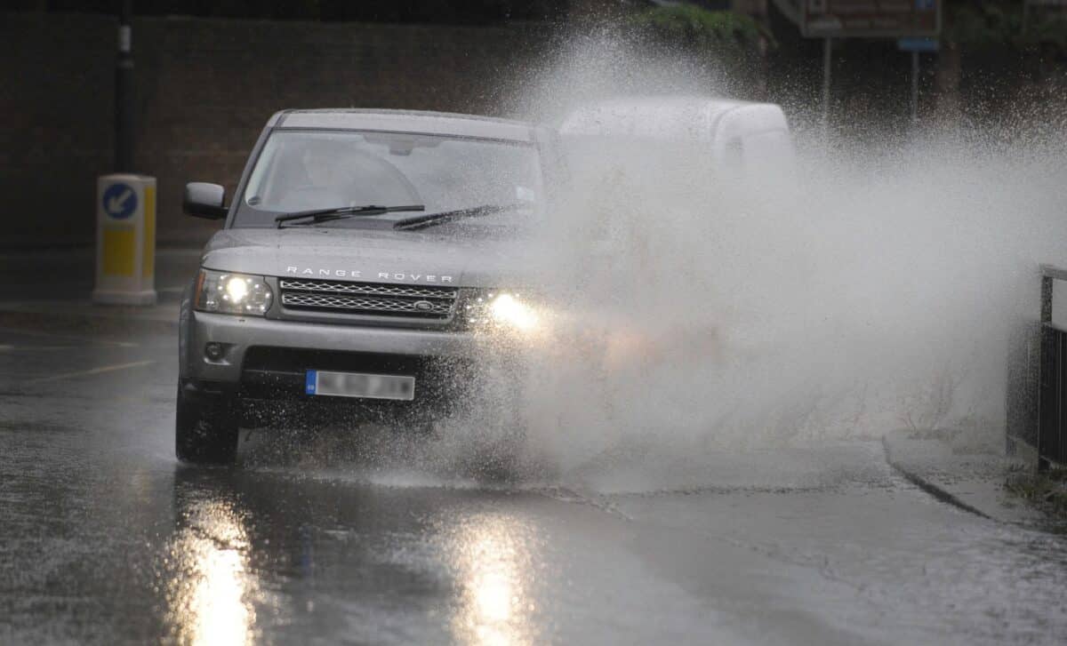
Transport networks are also likely to be affected during one of the busiest travel periods of the year. Roads could become hazardous due to surface water and strong gusts, while rail and other services may face delays or disruption. According to Jim Dale of British Weather Services, the potential for storm-force winds in some areas increases the risk of localised damage.
Forecasters note that, although no storms have yet been officially named, wind speeds could approach naming thresholds as the systems track across the country. This adds a layer of uncertainty to an already volatile forecast, with conditions expected to evolve quickly over the course of the Easter weekend.