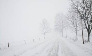
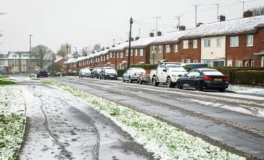
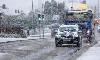
Britain is facing an early taste of winter as a sharp drop in temperatures has led to snowfall across parts of the country, particularly in Scotland. Light snow showers and widespread frost marked the start of Sunday, with colder conditions expected to continue in the coming days.
The transition from British Summer Time to Greenwich Mean Time has coincided with this marked weather shift. According to the Met Office, much of the UK woke up to a brisk and frosty morning, with temperatures dipping below the seasonal norm due to the arrival of Arctic air.
Snow Recorded in Highland Regions as Arctic Front Grips the North
Overnight, parts of the Scottish Highlands and Moray experienced light snowfall, with reports of flurries extending to Perth and Kinross. According to the Mountain Weather Information Service (MWIS), snow was observed falling as low as 500 to 700 metres, with air temperatures at higher elevations dropping below freezing.
Weather modelling maps from WX Charts suggest that snow will persist in the Scottish Highlands until 3pm on Sunday, according to the Express. Some areas, including Inverness, were forecast to receive snowfall at a rate of up to 5cm per hour, particularly around midday. Although conditions are expected to ease by mid-afternoon, lingering flurries could continue to affect northern areas, especially Moray.

The Met Office confirmed that showers would remain confined mainly to the north and west, stating: “Although many areas will see dry weather with sunny spells, it will feel cold in the brisk northerly winds.” Warnings for icy roads and reduced visibility have been issued, particularly for exposed routes and higher ground.
Temperatures Fall Below Average Amid Unsettled Conditions
The weekend’s cold spell is being driven by Storm Benjamin, which moved across the UK before heading east towards Denmark. This shift in pressure systems opened the door for cold Arctic air to sweep across the British Isles, pushing temperatures well below average for late October.
According to the Met Office’s 5-day forecast, Sunday began largely dry but chilly, with a mix of cloud and sunshine for many central and eastern areas. Rain is expected to spread southeastward later in the day, while the northwest continues to face scattered showers and a risk of coastal gales.
WX Charts also indicated that most of England will remain cold, with daytime temperatures ranging from 2°C in the south to sub-zero conditions in the north, particularly inland between Northumberland and Cumbria, where icy patches have been reported.
Looking ahead, conditions are forecast to remain changeable, with further showers likely, especially in the northwest. Temperatures are expected to return to near-average levels by midweek, but the risk of further cold spells remains.


