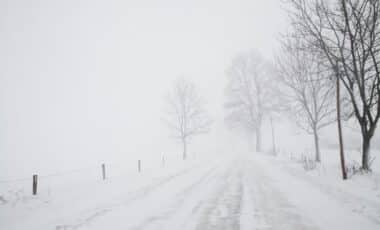
As the UK faces the approach of October’s final week, weather forecasters are predicting the first significant snowfall of the season. According to Netweather, Scotland’s Highlands will see widespread snow from October 27 to November 4, with parts of northern England also at risk. The shift in weather is expected to bring cooler conditions and disruptive flurries, marking a stark contrast to the milder autumn temperatures experienced so far.
While early forecasts were uncertain, recent updates suggest that snowfall may be more substantial than previously anticipated. A shift in atmospheric conditions is pushing cold air southwards, affecting parts of Scotland and even northern England. As temperatures remain near or slightly above average in southern areas, conditions further north are expected to be markedly colder, with the likelihood of snow increasing as we approach the end of October.
Significant Snowfall Expected in Scotland
The Scottish Highlands are set to experience some of the heaviest snowfall. Forecasts from WX Charts show that snow could accumulate up to 7cm (about three inches) in mountainous regions by October 26. Loch Monar and the Cairngorms National Park are expected to see the highest snowfall, with some areas potentially facing up to 1cm of snow per hour. This marks a notable change from earlier predictions, which only anticipated lighter snow. According to the Met Office, these conditions are typical for the transition into winter, with snow most likely to fall on higher ground.
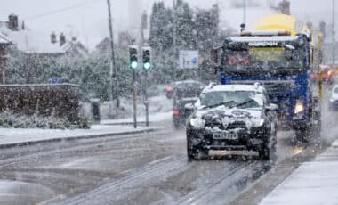
The snowstorm, which is expected to develop through the last weekend of October, could affect key travel routes in Scotland. Forecasters have warned that the first flurries could begin around midday on October 26, continuing through the evening. The heavier snow will then persist into October 27, particularly in higher altitudes. These conditions will likely create hazardous driving conditions and could disrupt transportation in affected areas.
Northern England to See Early Snowfall
In addition to Scotland, northern England may also experience its first snow of the season. Forecasts indicate that parts of northern England and Wales will see lighter flurries, with snow accumulation ranging from a dusting to 3cm in some regions. This forecast, according to Met Desk data, suggests that places like the Pennines and parts of the Lake District could experience brief, heavy snow showers, potentially lasting into the evening of October 27.
Although the snowfall is not expected to be as severe as in Scotland, these early flurries signal the beginning of a colder spell for the UK. The sudden shift from milder autumn conditions to colder, more unsettled weather comes as a result of low-pressure systems moving in from the Atlantic. These systems will bring more unpredictable weather to much of the country in the coming weeks, with potential for further snow and rain.


