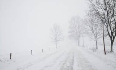
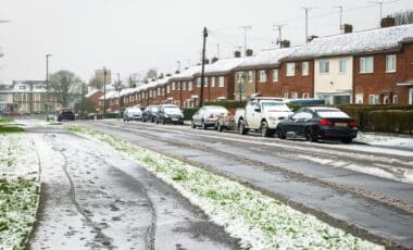
The United Kingdom is set to experience a wintry weekend, with snowfall of up to 5cm per hour forecast to blanket several regions starting this Friday. According to the Met Office, conditions are expected to remain “increasingly unsettled” as wet and windy weather combined with snow showers grip the nation.
Snow to Sweep in from the West
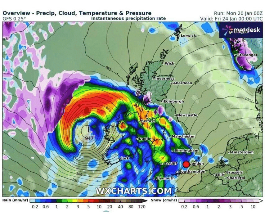
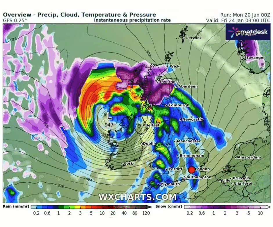
Snow showers are predicted to move in from the west as Friday, January 24, begins. Northern England and Scotland will be the first to see snowflakes, while heavy rainfall will affect much of the rest of the UK. Starting at midnight, patches of snow will cover northern England and Scotland, followed by “pressure south” pushing heavy snowfall into northern Scotland around 3 am.
Rain showers in other areas are expected to subside briefly on Saturday morning, creating a short dry spell before a “blanket of purple” on weather maps indicates another wave of snow moving in from the west. By midnight on Saturday, January 25, heavy snow showers of up to 5cm per hour will cover Belfast and parts of northwest England.
Snowfall Spreads to Wales and Central England
As Sunday progresses, snowfall will extend to Wales, moving from north to south overnight, with Manchester and nearby areas experiencing lighter snow showers. By Sunday evening, snowfall will primarily be confined to Scotland, with the rest of the UK seeing dry but frigid conditions. However, London and the southeast are predicted to experience heavy rainfall of up to 3cm per hour by 6 pm.
Weather Warnings and Impacts Across the UK: A Comprehensive Overview
The Met Office has highlighted that a “deep area of low pressure” will drive this wintry spell as it is “steered towards the UK on a powerful jet stream,” influenced by the recent cold wave in North America. The weekend will bring a mix of rain, snow, and strong winds, heightening the “icy feel” across the nation.
Looking ahead, the forecaster suggests there is “the potential for weather warnings or even a named storm” as the unsettled conditions continue into February. While temperatures are expected to climb slightly above average next week, the biting winds will make it feel colder.
Full List of Areas Affected
England
- Lancashire
- Yorkshire
- Cumberland
Northern Ireland
- Belfast
- Antrim
Scotland
- Perthshire
- North East
- Highland and Moray
Wales
- Clwyd
- Gwynedd
- Powys
- Gwent
Preparing for the Weekend
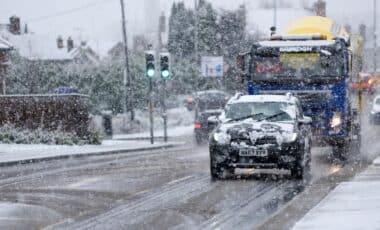
With snow and icy conditions set to disrupt travel and daily life, residents in affected areas are urged to remain cautious, particularly motorists navigating slippery roads. Keeping up with Met Office updates is recommended, as further weather warnings or advisories may follow.

