Snowfall is expected to hit the UK in early February, with forecasts pointing to widespread disruption across much of the country. Charts indicate a significant band of snow stretching from southern England to northern Scotland, set to begin around Monday, 9 February.
According to meteorological analysis from WX Charts, counties across England, including regions in the south, Midlands, and north, could see a blanket of snow, while Scotland is predicted to face even more severe conditions. The Met Office has confirmed a sustained pattern of cold fronts interacting with Atlantic systems in its early February outlook.
690-Mile Snow Band to Sweep across Britain
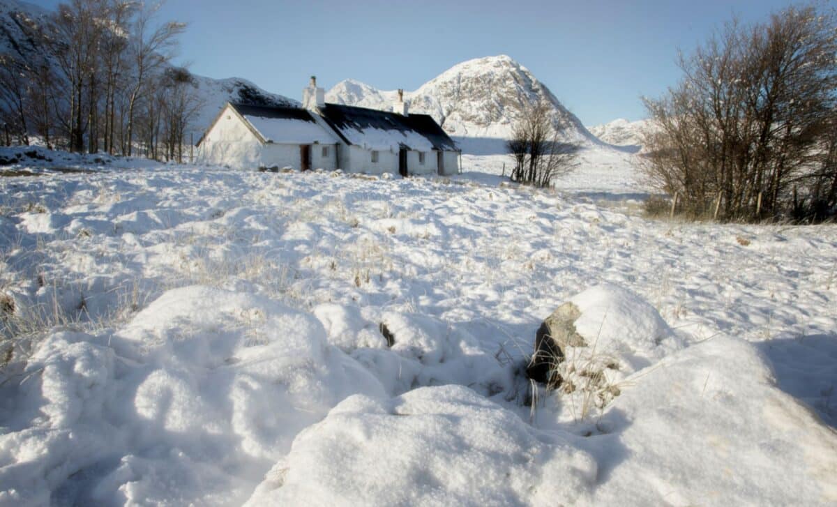
Meteorological maps from WX Charts show a sweeping 690-mile band of snow beginning in Kent and stretching as far north as Wick, in Scotland, with whiteout conditions projected to affect key urban centres such as Glasgow, Aberdeen, Edinburgh, and Inverness. The event, often referred to in media as a “snow bomb”, is forecast to bring significant disruption across the country. The heaviest snowfall is anticipated to occur on Monday, 9 February, impacting both highland and lowland areas.
According to WX Charts, the weather system has widened considerably in its reach, with the entire Midlands, parts of the Home Counties, and areas in the North West and North East of England showing signs of snow coverage. The modelling suggests snowfall depths could reach up to 18 centimetres in certain regions. In parallel, temperatures across the UK are expected to drop below freezing, with parts of Scotland potentially experiencing lows of -11°C, further increasing the likelihood of hazardous conditions.
The Met Office has noted in its long-range forecast that a pattern of weather systems from the Atlantic is likely to continue stalling over the UK due to high-pressure systems to the north and northeast. According to the Met Office, these stalled systems could lead to “rain or showers as well as strong winds”, and in the north and northeast, a heightened “risk of wintry hazards, especially where any precipitation from the southwest interacts with the cold air.”
Interaction between Cold Air and Atlantic Systems to Increase Snow Risk
The current forecasts highlight a significant meteorological interaction: the advance of mild, moisture-laden Atlantic weather fronts colliding with entrenched cold air across the north and east of the UK. This meeting point is expected to result in snowfall, particularly where the precipitation moves over colder air masses.
According to the Met Office, colder conditions in northern and northeastern regions “will bring an increased risk of wintry hazards”, with the potential for snow “especially across hills, but perhaps extending to lower areas at times”. The outlook indicates that central and southern regions may experience wetter conditions due to these Atlantic systems, while northwestern parts of the UK may remain comparatively drier.
The meteorological office further explains that during the final days of January, systems attempting to push in from the west will likely encounter resistance from existing pressure systems. This creates a pattern where weather fronts stall over the country, enhancing the chances of sustained precipitation and complex temperature contrasts.


