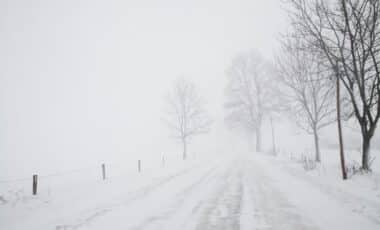
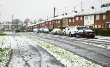
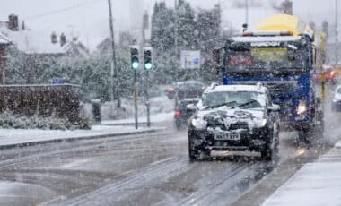
The UK is bracing for its first significant frost and snow of the autumn season, as temperatures are set to plunge sharply this week. With rain sweeping across the country, higher ground in northern England is likely to see the first snowflakes of the season, while chilly conditions are expected nationwide. As autumn settles in, the UK’s weather is about to take a frosty turn.
According to the Met Office, temperatures will drop to low single figures on Thursday and Friday night, setting the stage for widespread frosts. Rural areas, particularly in the Pennines and parts of northern England, could see temperatures as low as -1°C. The return of wintery conditions may catch many off guard after the relatively mild weekend, but these cold spells are typical of late October.
First Signs of Winter: Frost and Snow Arriving This Week
For many across the UK, the impending cold snap marks the start of winter. Meteorologists forecast temperatures plummeting in the coming days, with low single digits expected across England, Scotland, and Wales. According to the Met Office, the coldest regions will experience temperatures as low as -1°C in parts of County Durham, Cumbria, and Northumberland.
Rural areas in Scotland could see even colder conditions, with temperatures possibly dipping to -7°C or -8°C in the more isolated parts. While these conditions are typical for this time of year, the shift from mild autumn days to icy mornings signals the start of more unsettled weather. As the frost settles in, some regions, particularly in the northern reaches of the UK, will also experience snow. However, experts expect the snow to be brief, particularly on higher ground, with flurries expected to melt as temperatures rise.
A Short-Lived Cold Snap: Snow and Rain Followed by Wind and Showers
Though the cold snap promises to be a stark reminder of winter’s approach, it will not last long. According to Dan Stroud, a meteorologist with the Met Office, the snow on higher ground will be short-lived. “The rain will turn briefly to snow across the high ground in the far north, that’s northern England and northwards. At the moment we think there will be a bit of a plunge in temperatures next weekend. It will be generally unsettled and changeable. But these temperatures are around average for this time of year.” he said.

By Wednesday, temperatures will begin to rise, and milder weather is forecast to dominate for the rest of the week. Despite the brief return of wintry conditions, Stroud reassured that a prolonged cold snap is unlikely, with more typical autumn weather to follow, characterised by blustery showers and periods of sunshine.


