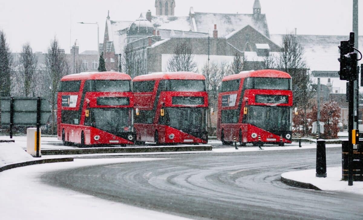
As January draws to a close, new forecasts point to a significant snow event set to affect nearly all of England. Recent weather modelling highlights a major shift in conditions, as Arctic air moves in from the north, increasing the likelihood of widespread snowfall.
The predictions, generated by WX Charts using data from the MetDesk system, show the UK entering a colder phase, with just five counties in England forecast to avoid snow. The rest of the country appears set to face a combination of wintry showers and plunging temperatures as the cold front intensifies.
Widespread Snow Coverage Expected from January 27
Weather modelling from WX Charts, updated on January 15, indicates a widespread snow front sweeping across England from January 27 onwards. The data, based on ECMWF models, suggests that the southern and western regions will bear the brunt of the snow activity, with heavy showers likely in multiple areas.
Only a few counties (Cornwall, Devon, Dorset, Somerset and West Sussex) appear set to escape snowfall, according to the forecast. The rest of England is expected to be covered in what the charts show as a large white mass, indicating snow accumulation and Arctic air. These developments mark a significant departure from the relatively wet and mild conditions seen earlier this winter.
According to the Met Office, “low pressure typically to the west or southwest and high pressure to the northeast” will shape the weather during the final days of January. This pattern is likely to pull colder air across the UK, increasing the risk of wintry hazards. BBC forecaster Chris Fawkes echoed this outlook, stating that low pressure to the west and high pressure to the north-east will dominate the setup, allowing “colder incursions of air” into the country.
Cold Snap May Mark Shift in Winter Trend
Forecasts suggest that this upcoming snow event could mark a colder-than-usual end to January. According to the Met Office, the expected conditions may lead to a “corresponding recovery in temperature back closer to average” into February, though confidence remains low about long-term patterns. The beginning of February is likely to be unsettled, with mixed precipitation and fluctuating temperatures.
The Met Office adds that “there may be a transition to more widely unsettled conditions,” hinting at a possible return to milder weather, but not before a potentially significant cold spell. BBC meteorologist Chris Fawkes notes that “January may turn out to be a colder month than average,” following earlier cold weather at the start of the month. This is notable in the context of the UK’s warming climate, where colder months have become less frequent over the years.
The rest of January is also likely to be “quite wet at times in southern and western areas,” Fawkes said, pointing to the possibility of localised flooding in some regions. These unsettled conditions are expected to coincide with increased snowfall risk, raising the possibility of travel disruption in areas not used to heavy snowfalls.
As the country prepares for this potentially widespread snow event, forecasts continue to be monitored closely, with any changes in atmospheric pressure or wind direction likely to influence the path and intensity of the snowfall.


