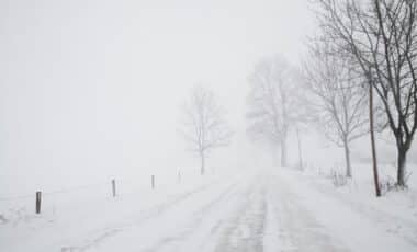
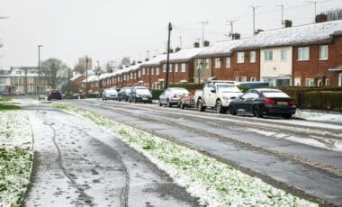
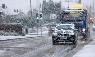
The upcoming snowfall may affect a wide range of regions, from southern coastal areas like Dorset to the Scottish Highlands, according to forecasts from Netweather TV. Meteorologists indicate that this weather pattern is being driven by slow-moving fronts and a blocking high pressure system over Scandinavia and western Russia, shaping a cool, moist airflow from the southeast.
Snow Risk Stretches from Coastal Dorset to the Scottish Highlands
Snow is expected to blanket several parts of the UK, with a particular focus on counties in the north of England and western Britain. According to Netweather TV, regions most at risk include Dorset, Derbyshire, Somerset, Yorkshire, Nottinghamshire, Cumbria, Northumberland, Durham, and Lancashire. In Wales, Carmarthenshire and Pembrokeshire are forecast to see snow showers, while Antrim, Down, Fermanagh, and Tyrone in Northern Ireland could also be affected.
Scotland may witness some of the heaviest snowfall, especially in the Highlands, Western Isles, Ayrshire, Dumfries and Galloway, and Perth and Kinross. The distribution of snowfall is strongly linked to easterly and south-easterly airflows which draw continental moisture into colder UK air masses, increasing the chance of snowfall instead of rain, particularly at higher altitudes and during the night.
Despite these snowy conditions, forecasters note that the airflow is not particularly cold for the time of year. Ian Simpson, writing for Netweather TV, explained that while “some model runs are seeing Britain develop an easterly airflow”, the dominant air mass “is looking set to remain mild”. He noted that the high-pressure system over eastern Scandinavia and Russia is too far east to generate a classic cold spell over Britain, but it could still stall Atlantic fronts and lead to significant weather stagnation.
Gloomy Start to December as Fronts Slow against High Pressure
Beyond the snowfall, the UK is also likely to experience gloomy, misty conditions throughout the first half of December, particularly in western Britain. The blocking high in Scandinavia is expected to hinder the eastward movement of rain-bearing Atlantic frontal systems, resulting in slow-moving weather fronts and prolonged spells of cloud, drizzle and low visibility.
According to Netweather TV, these conditions may contribute to “another dull first half of December”, especially in areas where fronts become stationary. While eastern Britain may occasionally see breaks in the cloud due to intermittent polar maritime air masses, most regions are forecast to remain under grey skies, with fog and mist forming during calm periods.
This type of atmospheric pattern is known to limit sunshine levels, reduce diurnal temperature variation, and create difficult driving conditions, particularly where wet surfaces freeze overnight. The combination of snowfall in parts and widespread low-visibility conditions raises concerns for transport services, road safety, and flight schedules, particularly in rural or upland regions.
As weather systems continue to interact with continental high-pressure zones, further updates are expected from the Met Office and other forecasting services. Authorities are advising travellers to remain vigilant and prepare for potential weather-related disruption later this month.


