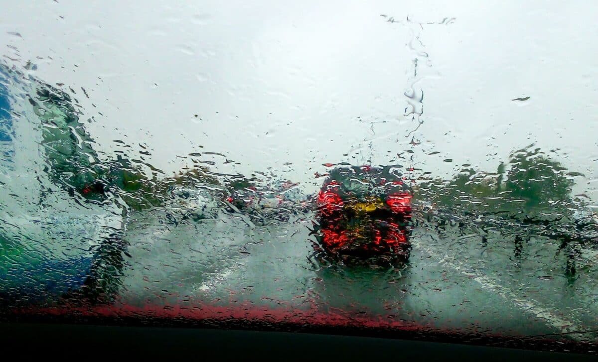
A band of rain is expected to move across Coventry in the coming days, bringing scattered showers and cooler temperatures. While not a complete washout, the Spring Bank Holiday is set to be markedly wetter than recent weeks.
Forecast data from the Met Office indicates that the heaviest rain will arrive in the early hours of Sunday, May 25, with showers likely before and after the weekend. A weather map shows an incoming ‘wall of rain’ sweeping through the region.
Following an unseasonably warm and dry period, residents of Coventry and the surrounding area should prepare for a notable shift in weather conditions. The Spring Bank Holiday weekend, typically marked by outdoor gatherings and travel, will see a more unsettled pattern emerge.
Showers to Increase, With Heaviest Rainfall on Sunday
Coventry is set to experience intermittent rainfall beginning Tuesday, May 21, with localised showers and thunderstorms forecast in some areas. According to the Met Office, today’s outlook includes “cloud and outbreaks of showery rain in the south of the region” clearing to give way to warm, sunny spells, with maximum temperatures reaching 22°C.
Afternoon conditions could see heavier, thundery showers, particularly in built-up or elevated areas.
By the evening, showers are expected to fade, giving way to a dry and locally chilly night with clear spells. Minimum temperatures may fall to around 3°C, with increasing cloud cover from the north by dawn.
Looking ahead, Thursday is forecast to bring a band of cloud with light rain moving southwards during the morning, followed by clearer skies in the afternoon. Temperatures will be lower than earlier in the week, peaking at 18°C.
Weekend Outlook: Cooler, Wetter, and Unsettled
From Friday onwards, Coventry is likely to experience more unsettled conditions. The Met Office reports that Friday will begin with a chilly start but remain dry with sunny spells throughout the day. Overnight, cloud will build from the west, bringing rain to the region on Saturday.
This band of rain is expected to reach its peak intensity during the early hours of Sunday, May 25. While the forecast does not indicate persistent rainfall throughout the day, Sunday will likely be marked by scattered showers, interrupting plans for outdoor activities.
The Met Office notes that while it will not be a complete “wash-out” the weekend represents a significant shift from the recent warm, dry spell that has characterised much of May. The anticipated change is attributed to incoming Atlantic weather systems.
Residents and visitors are advised to monitor local forecasts and prepare for varying conditions, particularly if travelling or attending outdoor events during the Spring Bank Holiday.