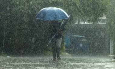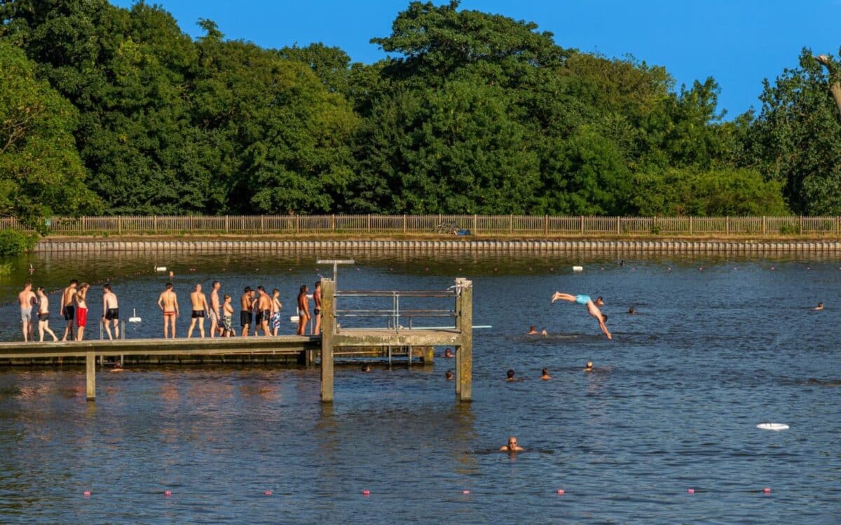
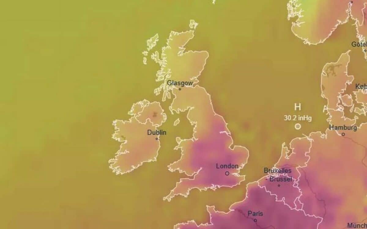
The Met Office has warned that the UK is bracing for the return of a summer heatwave, with temperatures expected to soar to 31°C across parts of England. After experiencing a mix of sunny spells and rain throughout the summer, August appears to signal a transition towards much hotter weather. The heat will be most intense on August 6 and 7, especially in the south-west and south-east of the country.
According to sources, including GloucestershireLive, the Met Office’s forecast reveals limited details but highlights the likelihood of increased high pressure, which could lead to prolonged dry and warm weather for some areas. The national heat surge will be felt most strongly in the southern regions.
Expected Temperatures for August 6-7
According to weather forecasts, the hottest temperatures of the week will occur on August 6 and 7, particularly across the south-west and south-east of England. Cities like Southampton, Bournemouth, Bath, and Bristol are expected to reach 31°C, while areas like Dorset, Oxfordshire, and Wiltshire will see slightly cooler temperatures around 30°C.
Further south, Cardiff and Swansea are predicted to hover around 27°C, with coastal areas like Cornwall and Devon experiencing temperatures between 26°C and 27°C.
Forecast for More Moderate Areas
While the southern regions will experience intense heat, cities such as Cardiff and Swansea will likely remain at more moderate temperatures of around 27°C. Coastal regions like Cornwall and Devon are also expected to experience temperatures between 26°C and 27°C, making them slightly cooler than the southern inland cities.
Met Office Outlook for the Rest of August
The Met Office‘s long-range forecast for August 1 to August 10 states:
The period is likely to start off on an unsettled note, with showers, and perhaps a risk of thunderstorms (these mainly in the southeast). Over the course of the following weekend, a steady transition to something fresher, drier, and a bit more settled.
It suggests that cloud, rain, and stronger winds may arrive from the west starting Sunday, August 3, or early in the following week. It adds:
There are signs that high pressure will be more dominant, leading to longer spells of fine, dry, and possibly warm weather; the greatest chance of further rain will be in the far northwest of the UK.

In the second half of the month, the Met Office’s extended forecast for August 11 to August 25 indicates:
The greatest chance of periods of wet weather in the northwest. Elsewhere, drier than average conditions are likely overall, although short periods of showers and thunderstorms cannot be ruled out. Temperatures are most likely to be around to above average, with a near-normal chance of brief spells of hot weather.
An update this morning from the Met Office predicts a nicer day today compared to yesterday, stating:
Blue skies will greet some of us as we open the curtains on Monday morning and overall it will be a brighter day than on Sunday. Showers are still possible, these most likely in northern Scotland in the morning but a few isolated light ones can’t be ruled out elsewhere too.