High pressure and rising temperatures could trigger a late-summer heatwave across parts of England during the second week of September, with Met Office forecasters anticipating highs of 30°C on September 8 and 9. According to meteorological agencies, this could mark the fifth official heatwave of the season for the UK.
Forecast models indicate that the warmest conditions will likely be limited to specific southeastern regions, rather than affecting the entire country. BirminghamLive reports that only ten counties are currently expected to see the most significant temperature rise. The Met Office has issued a broader outlook, suggesting unsettled weather will persist in other areas during the same period.
Only 10 Counties Set to Roast in Isolated Heatwave
While weather maps suggest a sharp rise in temperatures, the heat will not be uniform across the country. According to WX Charts, only 10 counties are expected to experience the peak of the warm spell, with the southeast and east of England forecast to be the hottest.
The areas most likely to see 30°C highs include:
Berkshire, Essex, Greater London, Hampshire, Hertfordshire, Kent, Norfolk, Surrey, Sussex, and Suffolk.
Maps and models clearly show that not everywhere will bear the brunt, and the rest of the country is expected to remain under less stable atmospheric conditions.
Met Office Outlines Unsettled Conditions for Most Regions
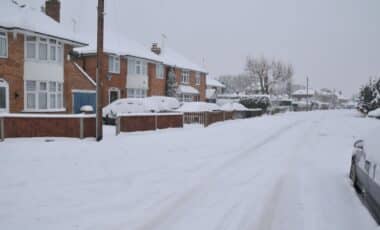
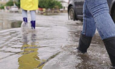
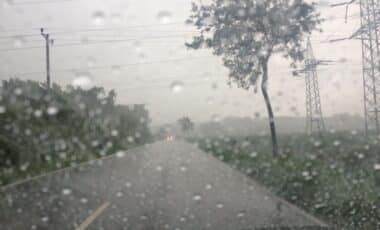
In contrast to the southeast, much of the UK will remain unsettled, with repeated periods of rainfall, wind and storm activity.
The Met Office forecast for September 4 to 13 states:
This will mean showers or longer spells of rain will affect much of the UK at times. Some heavy rain or showers are expected in places, most often in the west.
Thunderstorms and hail are also possible, as are some spells of strong winds if any deep areas of low pressure form in the vicinity of the UK.
Some short-lived spells of drier and more settled weather are also possible at times, especially later in the period when they may last a little longer.
Despite the potential for brief sunny intervals, the dominant weather pattern is expected to be shaped by low pressure systems, leading to frequent changes in conditions across most regions.
Temperature Trends Remain Mixed Across the UK
While southeastern counties may experience short bursts of warmer-than-average temperatures, national temperature levels are forecast to remain relatively moderate.
According to the same Met Office report:
Temperatures will likely be close to average or slightly below overall, but may rise above at times in any drier, sunnier spells.
This variation underscores the regional disparity in weather patterns during the month, with eastern counties occasionally benefiting from better conditions than the northwest and western areas, which will continue to experience heavier rainfall and storm activity.
September 14 Outlook: Wet for Most, Mild for Some
Looking further ahead, the forecast covering September 14 onwards suggests a continuation of unsettled conditions for much of the country:
Low pressure is likely to dominate much of this period, bringing changeable weather conditions with showers or some longer spells of rain at times.
There will likely be some drier, more settled interludes, particularly at the start of the period.
Temperatures are likely to be close to average, perhaps turning warmer than average later in the period.
Although the models hint at the possibility of a late-period warm-up, particularly in the south and east, the probability of sustained stable conditions remains low at this stage.