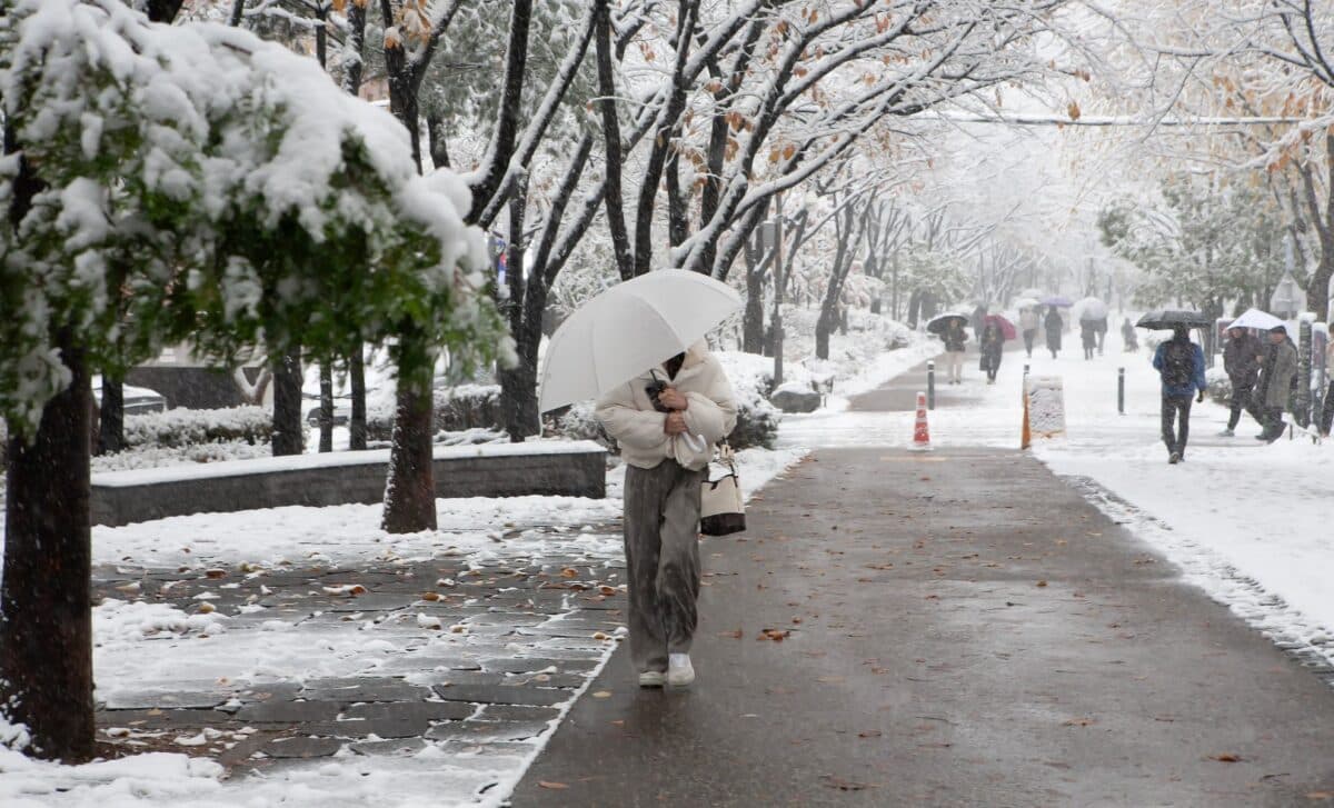
The UK is bracing for another spell of wintry weather, with snow expected to hit parts of the country in the coming days. The Met Office has issued a fresh weather warning, signalling colder temperatures and the potential for snow from Tuesday through Thursday. As the UK continues to grapple with unsettled conditions, the latest forecast paints a picture of more rain, sleet, and snow across several regions.
In particular, the north of England will likely face the brunt of the cold snap, while areas such as Birmingham and the West Midlands will experience heavy rainfall. The Met Office has warned that this could be a prelude to more snow later in February, as colder air moves southwards. As the UK enters the second week of February, residents should prepare for fluctuating weather patterns and the possibility of significant snowfall.
Unsettled Conditions Across the Country
According to the Met Office, the weather from Tuesday to Thursday will be dominated by unsettled conditions, with frequent rain and showers affecting many parts of the country. The forecast highlights eastern Scotland, southwest England, and Northern Ireland as being particularly susceptible to heavy rain during this period. Despite the ongoing rainfall, the colder conditions expected in the north from mid-week could bring a chance of snow, especially in higher areas.
The situation is set to intensify as temperatures drop in the coming days, with the Met Office warning that snow is most likely in northern England. Meanwhile, other regions, including Birmingham, will see persistent rainfall, with heavy showers expected throughout Tuesday night and into Wednesday. These wet conditions will be followed by further bouts of rain over the next 48 hours, making for a generally gloomy outlook for much of the UK.
Colder Weather and Snow in February’s Final Week
Looking further ahead, the Met Office’s extended forecast suggests that colder weather could become more widespread between February 12 and 21. Cyclonic weather patterns are expected to dominate the UK, bringing more unsettled conditions. Snow is expected to be most prominent in the north and northeast of the country, with the likelihood of colder temperatures becoming more established during this period.
According to the Met Office, this colder phase will bring a brief respite from the wet conditions in the south, although the return of heavy rain and strong winds is expected to keep much of the UK in a state of uncertainty. As the month progresses, the trajectory of Atlantic depressions may shift slightly further north, but unsettled weather will remain a key feature.
For now, residents across the UK should remain vigilant, with weather experts advising that snow could cause travel disruptions, especially in the north. While some regions may experience snow as early as mid-week, the most significant snowfall is likely to occur later in February. The upcoming days are set to remind the UK that winter is far from over.


