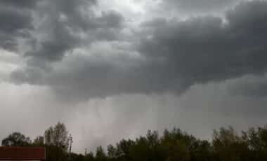
The Met Office has issued a yellow weather warning for strong winds set to affect a 420-mile stretch of Britain over the Easter weekend. The alert highlights the likelihood of disruption across parts of Scotland and northern England as a fast-moving weather system approaches.
The warning, which runs from 6pm on Saturday April 4 until 12pm on Sunday April 5, signals a period of unsettled conditions that could impact transport, infrastructure, and coastal safety. Authorities are urging residents to prepare for potential disruption and remain alert as forecasts evolve.
Strong Winds Expected to Disrupt Travel and Infrastructure
According to the Met Office, “very strong winds late on Saturday and overnight into Easter Sunday” are expected to affect large areas of Scotland and the north of England. The agency notes that delays to road, rail, air and ferry transport are likely, with some services potentially cancelled as conditions worsen.
The warning also highlights a slight chance of power cuts, which could in turn affect mobile phone coverage and other essential services. High-sided vehicles may face delays on exposed routes and bridges, and there is a possibility that some roads and crossings could be temporarily closed.
In addition, there is a risk of structural impacts. The Met Office indicates that damage to buildings, such as tiles being blown from roofs, is possible under stronger gusts. Coastal areas face their own hazards, as large waves and airborne debris could pose a danger to people near sea fronts and coastal roads.
Meteorological System Driving Gusts of up to 90 Mph in Exposed Areas
The severe conditions are linked to what the Met Office describes as a “rapidly deepening area of low pressure” moving northeastwards close to, or across, northwestern parts of the UK. According to the agency, this system is expected to develop through Saturday evening and overnight before clearing into the North Sea by Sunday.
Forecasts indicate a period of strong west to southwesterly winds forming during Saturday night and continuing into the early hours of Easter Sunday. The Met Office notes that, although there is some uncertainty regarding the system’s precise track, intensity and structure, the likelihood of widespread strong winds remains significant.
Across much of the affected region, peak gusts of 50 to 60 mph are expected, with more exposed locations likely to see gusts reaching 60 to 70 mph. According to the Met Office, there is also a slight chance of more severe conditions in parts of Scotland, particularly in western areas, where gusts could briefly reach between 80 and 90 mph. These wind speeds, while not unprecedented, are sufficient to increase the risk of disruption and minor damage, particularly in coastal and elevated areas where exposure is greater.