
The Met Office has issued multiple weather warnings across the UK today, as thunderstorms and heavy rain are expected to disrupt travel and daily life.
These weather conditions will bring up to 40mm of rain in just a few hours in certain regions, particularly in South Wales and parts of Northern Ireland. The forecasts highlight the potential for hazardous driving conditions and delays to public transportation.
According to the Mirror, the Met Office’s warning doesn’t reveal much more specific information but signals the likelihood of significant weather disruptions, including localized power outages and intense rainfall throughout affected areas.
Storm Warnings and Impact on Travel
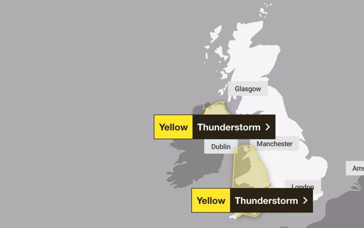
Currently, two weather warnings are in place for storms.
The low-pressure system moving north is expected to affect the Southwest of England in the morning, Wales in the early afternoon, and the Northwest of England and Northern Ireland by late afternoon and evening.
The yellow weather warning for the Southwest and Wales will end at 1pm, while Northern Ireland’s warning will continue until 9pm.
Heavy rainfall of 10-40mm per hour is expected, which could cause travel disruptions. Conditions on the roads could be hazardous with spray, standing water, and hail, leading to longer travel times.
Train delays are also possible, along with some short-term power outages. Wind gusts could reach 40-50mph in certain areas, particularly around hills and coasts.
Friday and Saturday: More Storms on the Horizon
The Met Office has also issued another thunderstorm warning for Friday and Saturday, covering East Anglia, Essex, Kent, Greater London, and Sussex.
The warning will remain in effect from 3pm Friday until 6am Saturday.
These storms could bring as much as 50mm of rain, with the potential for flooded roads and property damage. Some communities may even experience difficulty accessing areas due to flooding.
Temperature Contrast
Wednesday’s high temperatures, such as 25.9°C in Blackpool and 25.4°C in Sheffield, will be replaced by cooler conditions today.
Most areas can expect highs of around 20°C, with regions affected by thunderstorms, particularly the Southwest of England, reaching just 17°C.
Scotland and the North East of England are expected to avoid the worst of the storms, but their temperatures will still fall far short of the recent highs.
The forecast highlights the volatility of the UK’s weather, transitioning quickly from sunny warmth to intense thunderstorms.
The next few days will see dramatic weather patterns, so it’s wise to stay updated with the latest warnings and prepare for possible disruptions.