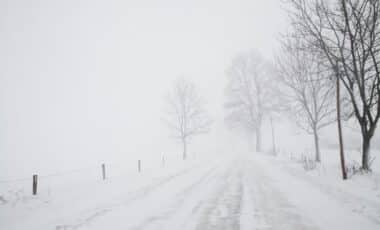
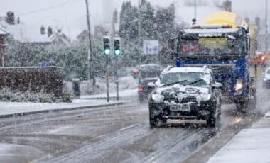
As the UK braces for winter, the Met Office’s initial forecast offers some relief to those who were hoping for a break from the harsh conditions of recent years. The three-month outlook, covering October to December, predicts a winter likely to remain mild or average in terms of temperature, with a chance of colder spells toward the end of the period.
However, experts caution that global weather patterns, such as the polar vortex and La Niña, could still bring unexpected changes, with colder weather potentially affecting large parts of the country.
The outlook also highlights the role of long-term climate trends, such as warming conditions, which continue to shape seasonal weather patterns. But while mild conditions are expected, certain parts of the UK may still experience colder, wetter spells as these global phenomena come into play.
A Milder, Wetter Outlook Predicted for Most of the UK
According to the Met Office’s latest winter forecast, there is a 55% chance that the UK will experience near-average temperatures this winter, with a further 30% likelihood of milder-than-usual conditions. While only a 15% chance remains for a colder-than-average season, meteorologists stress that variability is still possible, especially as the winter progresses.
Precipitation is expected to be near average, with a 70% chance of rainfall levels in line with historical norms. However, a 20% chance exists that the UK will experience drier-than-usual conditions, particularly in the south, as high-pressure systems may dominate in some regions. The greater-than-usual likelihood of northerly and northwesterly winds, a pattern that is becoming more frequent due to climate change, could also bring colder spells later in the season, particularly in the northern and western areas.
Polar Vortex and La Niña Could Shape Winter’s Extremes
Experts are also keeping a close eye on the polar vortex, a large circulation of winds high above the Earth’s surface that plays a crucial role in determining winter temperatures. According to meteorologists, a weakening vortex could result in a weaker jet stream, allowing cold air from the Arctic to spill southwards into the UK. This could lead to significant cold spells and even snow, particularly during the latter part of the winter.
On the other hand, if the polar vortex remains strong, the jet stream would likely continue its usual path, bringing milder and wetter weather to the UK. This scenario could result in a stormier winter, similar to what was seen in 2022 when the Met Office named three storms in quick succession. Additionally, the ongoing La Niña phenomenon, which cools parts of the Pacific Ocean, could further influence the jet stream, potentially driving colder air toward the UK earlier in the season.


