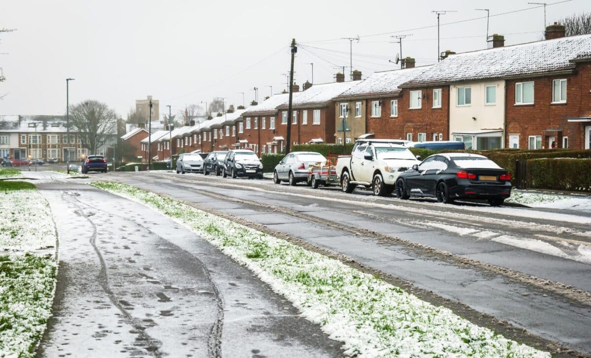
Greater Manchester residents enjoyed a brief taste of spring last week, with temperatures climbing well above seasonal averages under glorious sunshine. That respite, however, is set to be short-lived. The latest Met Office forecasts indicate that snow and sleet are on course to return to parts of the region as early as Tuesday night, with wintry conditions persisting through much of Wednesday.
The contrast is striking. Highs of 14°C are expected on Monday, March 23, followed by 13°C on Tuesday, still above average for late March. Yet within hours of those relatively mild daytime temperatures, conditions are forecast to deteriorate sharply, with overnight lows dropping to just 1°C by Tuesday night and the first flurries arriving on higher ground to the east of the region.
A Progressive and Widespread Snowfall Event
According to the Met Office, the wintry conditions are expected to develop in stages. Tuesday is forecast to begin with light rain that turns heavy by lunchtime, setting the scene for a deterioration after dark. From around 10 p.m. on Tuesday, snow flurries are expected on elevated terrain to the east of Greater Manchester, while heavy rain continues to fall at lower levels.
The situation is projected to intensify through the early hours of Wednesday. By 1 a.m., snow or sleet is forecast across a wider area of the region, with more consistent and heavier snowfall anticipated by 4 a.m. particularly across Bury, Oldham, Rochdale and Tameside. A further burst of wintry precipitation is expected around 7 a.m., spreading southward to affect Bolton, Salford, Trafford, Stockport and Manchester city centre itself.
The Met Office anticipates that showers and sunny intervals will characterize Wednesday throughout the day, with wintry conditions most likely during the morning hours. The region could see daytime highs of just 8°C, followed by overnight lows dropping below zero in some areas, a dramatic shift from the double-digit temperatures recorded only days earlier.
A Brief Interruption Before Milder Conditions Return
The cold snap is not expected to linger. Thursday is forecast to be a dry and mostly sunny day, with temperatures again reaching 8°C. Looking further ahead, the Met Office’s early projections suggest a gradual return to more seasonal mildness over the weekend, with highs of 10°C on both Friday and Saturday, rising to 13°C by Sunday.
According to current forecasts, cloud cover will dominate much of the weekend, though no significant precipitation is anticipated. For residents in higher-lying boroughs such as Rochdale and Oldham, which have historically been more susceptible to accumulating snow, Wednesday morning represents the most significant period to monitor.
The episode underscores the unpredictability of late-March weather in northern England, where a brief warm interlude can swiftly give way to wintry conditions without much warning. For now, Greater Manchester faces a familiar seasonal paradox: sunshine and near-summery warmth one week, snow flurries the next.