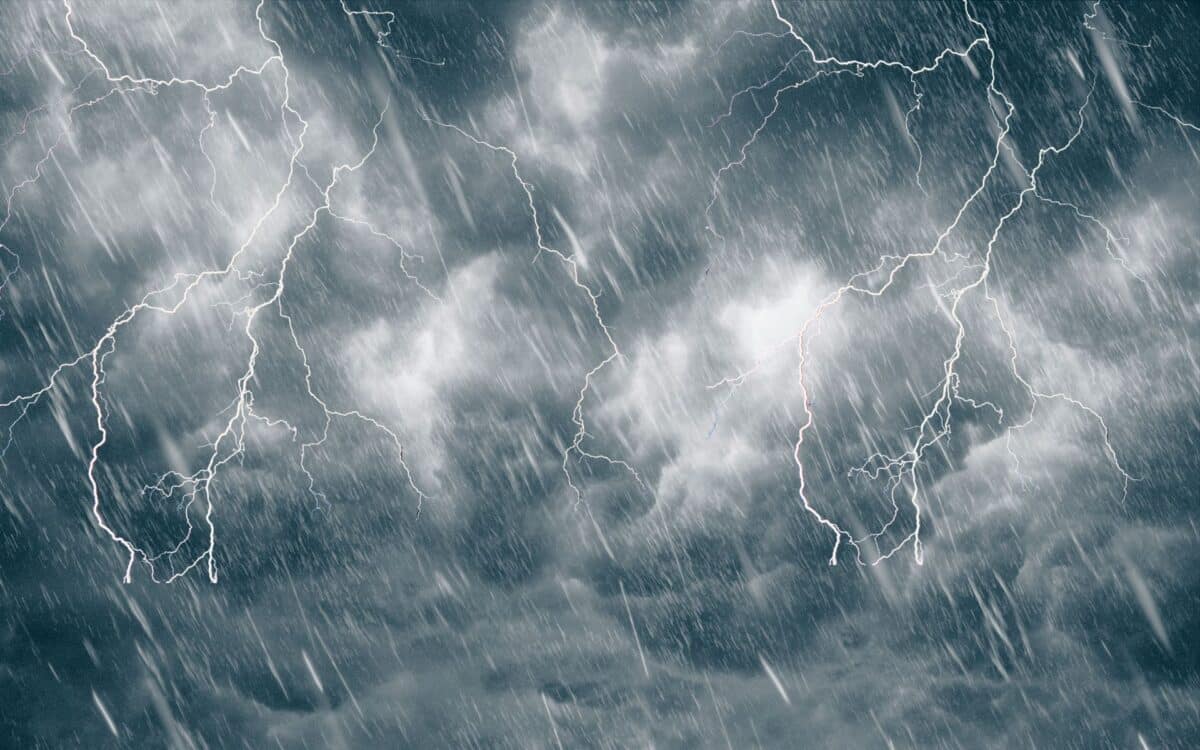
Scotland is again under threat from thunderstorms following intense heat, as the Met Office maintains its yellow weather warning for selected eastern and central areas. Recent conditions have included highs of up to 30°C, contributing to an unstable atmosphere likely to trigger further storm activity.
According to a report by the Daily Record, the alert, initially affecting most of the country, has since been narrowed, though potential risks remain. The latest update from the Met Office, issued this morning, outlines possible flooding, transport disruption, and damage to property, with the warning expected to remain in place through the evening of August 14.
Storm Threat Follows Scorching Temperatures Across Scotland
On Tuesday, August 13, Scotland recorded exceptionally high temperatures, with 28°C in Glasgow, 26°C across the Highlands, 25°C in Edinburgh, and 21°C in Aberdeen. The Met Office had forecast this spike as part of a broader hot spell moving across the UK.
This warm and humid air mass has created conditions ripe for thunderstorm development, triggering a yellow warning that initially covered nearly all of Scotland from 2pm to midnight on August 13. Areas such as the Borders and Orkney, which were previously under alert, experienced volatile weather, while pockets in the southwest and northeast were largely unaffected.
Updated Yellow Warning Narrows to Key Eastern and Central Regions
As of 10:30am on August 14, the Met Office issued an updated bulletin shrinking the yellow warning zone. The current alert, now in place until 10pm tonight, applies to selected local authority areas in:
- Central, Tayside & Fife: Angus, Clackmannanshire, Dundee, Falkirk, Fife, Perth and Kinross, Stirling
- Grampian: Aberdeen, Aberdeenshire, Moray
The warning highlights risks of flash flooding, building damage, retarded public transport, and delays on road networks. The Met Office has again stressed that deep or fast-flowing floodwater may pose a danger to life in the worst-hit zones.
Met Office Issues Detailed Forecast and Expert Comment
In a statement issued ahead of the warning, Met Office Chief Meteorologist Dan Suri explained:
Wednesday brings a more complex picture, with high temperatures but also the chance of thunderstorms arriving in the evening.
During Wednesday daytime, temperatures could peak at 34°C, with the heat shifting eastwards into east England, while parts of Scotland could also see temperatures above 30°C. By the evening, there is an increased risk of thunderstorms across northern areas, with the potential for some fairly wet weather.
Storm Floris and Recent Climate Volatility
This warning comes shortly after Storm Floris, which struck on August 4. The storm brought winds up to 85 mph and left thousands of homes without electricity in Scotland. Prior to Floris, the UK faced severe weather systems through early 2024, including storms Babet, Ciarán, Debi, Elin, Fergus, Gerrit, Henk, Isha and Jocelyn. Many of these events caused flooding, infrastructure damage, and fatalities, particularly in Eastern Scotland.
The Met Office attributes this increased weather instability to climate change, with more frequent storms and heavier rainfall now common across the UK.
Climate Report Confirms Rising Weather Extremes
A new State of the UK Climate report, published in July 2025 by Wiley in the Royal Meteorological Society’s International Journal of Climatology, confirms the last three years were among the five warmest since records began in 1884. The data also highlights a spike in severe weather events and storm frequency, reinforcing links between rising temperatures and extreme conditions.
The Met Office has used these findings to underscore the connection between warming patterns and more intense weather across the British Isles.
Residents Urged to Remain Cautious
The warning is expected to expire at 10pm tonight, August 14. The Met Office currently predicts no further alerts in the coming days, but the combination of high humidity, elevated temperatures, and unstable atmospheric conditions could continue to influence the national forecast.
Those in affected regions are encouraged to:
- Avoid travel where possible during heavy rainfall
- Stay informed through local updates
- Take precautions against electrical outages or flash flooding


