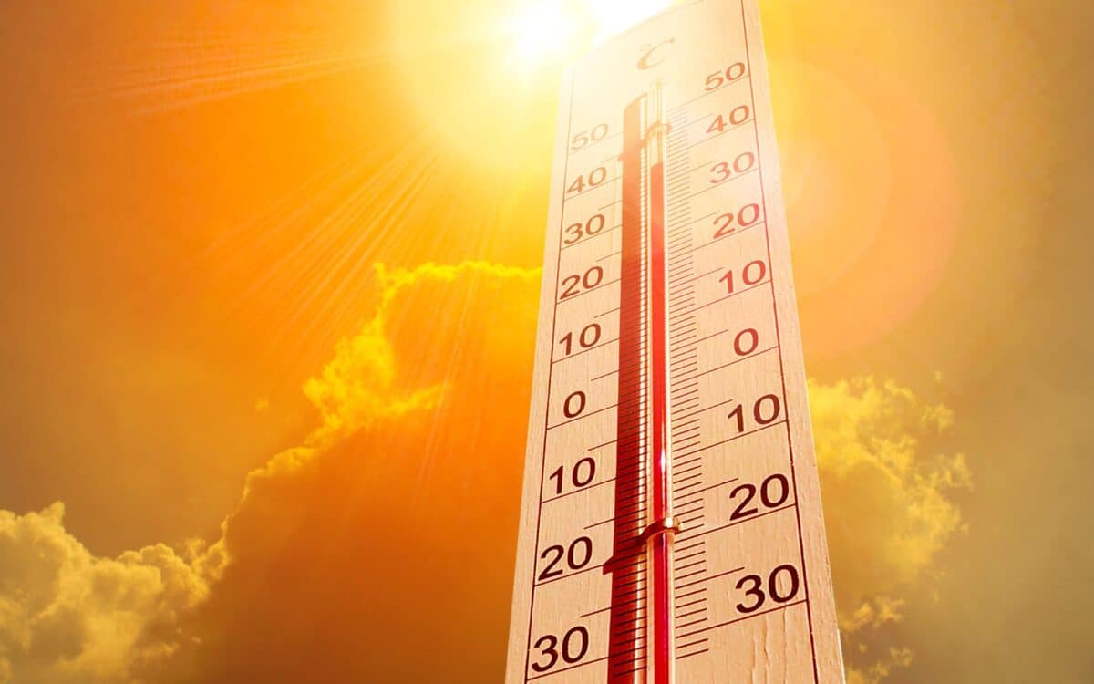
The UK has already experienced three heatwaves this summer, with the latest pushing temperatures above 30°C in several regions. According to the Met Office, there is a possibility of more warm spells later in August, which could bring further heatwaves to parts of the country.
Gloucestershire Live reports that despite the recent heat, the Met Office has yet to provide specific details on when these hot spells might occur. The weather service has only suggested that high pressure could lead to warmer conditions, but it has not revealed any precise forecasts, leaving much uncertainty about the timing and intensity of the upcoming heatwaves.
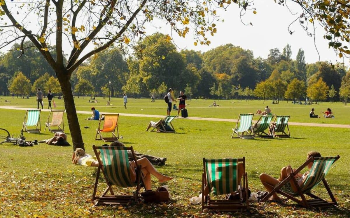
A Summer of Heatwaves
Britain has experienced three heatwaves so far in 2025.
The most recent wave saw temperatures climb over 30°C in parts of the country. Scotland, Northern Ireland, and Wales all recorded their warmest days of the year on July 12, marking a significant heat event.
However, this heat was quickly interrupted by torrential downpours and thunderstorms that brought the warm conditions to a sudden halt.
These weather disturbances coincided with the beginning of the Welsh school summer holidays, prompting the Met Office to issue multiple weather warnings nationwide.
What’s Coming Next?
The Met Office has suggested that warmer air is likely to enter the UK from the southwest starting around July 24. According to Aidan McGivern, a Met Office meteorologist,
It looks like warmer air is coming into western parts of the UK. The cold pool is moving into central Europe, and warmer air is starting to appear to the southwest.
This change in the atmospheric pattern will bring higher temperatures from the southwest, with a ridge of high pressure building in, leading to a shift in weather conditions as the weekend approaches.
By July 28, many areas will see drier conditions, with temperatures potentially reaching 27°C in the east and southeast. McGivern noted,
By Friday, many places will be drier. The best of the sunshine on Friday is towards the east and southeast, with 27°C possible.
However, there will still be some cloud cover in the west and northwest.
Looking Ahead to August
The extended forecast for August 7-21 indicates that the initial changeable weather will give way to more settled and drier conditions.
There will likely be a mix of rain and showers early in the month, but as August progresses, high pressure is expected to dominate, bringing warmer, drier conditions to much of the country.
A Met Office spokesperson stated,
Temperatures will likely be near or above average overall. There is a chance of some very warm or hot spells developing later in August if high pressure wins out for a decent stretch of time, especially in the south and east.
What Does the Long-Term Forecast Suggest?
The Met Office‘s three-month outlook for meteorological summer (from June 1 to August 31) suggests a higher likelihood of warmer-than-average temperatures for the season.
The summer of 2025 is twice as likely to be warmer than usual compared to typical summer conditions.
While the end of July and the beginning of August may bring average or even slightly cooler temperatures, conditions are expected to improve by mid-August, with the potential for hot spells returning.
A Look at Late July to Early August
During the period from July 28 to August 6, the weather will be dominated by westerly winds, likely bringing rain and showers at times, interspersed with periods of drier weather.
The north and west will experience wetter and windier conditions, with possible prolonged spells of rain.
Meanwhile, the south and east are expected to see drier, sunnier weather, with settled conditions possible later if high pressure builds into the southwest.
A Met Office representative explained,
It will be breezy at times, especially in the further north. Temperatures are most likely to be near to average or slightly above average for the time of year.