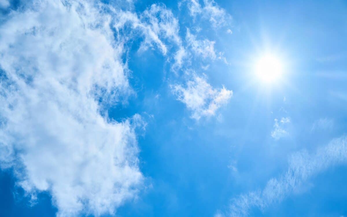
The UK’s fourth heatwave of the year is expected to end abruptly today as thunderstorms and heavy rain sweep across parts of the country, the Met Office has confirmed. Temperatures reached 33.4°C in Ross-on-Wye on Tuesday, marking one of the highest points of this current warm spell. Forecast models indicate that atmospheric instability will develop later in the day, particularly across northern regions.
According to information reported by The Mirror, weather alerts may be issued depending on evolving conditions. The Met Office has noted that exact storm locations remain uncertain for now, and further updates are likely as the situation progresses.
Temperature Peak Precedes Rapid Weather Change
On Tuesday, temperatures peaked at 33.4°C in Ross-on-Wye, Herefordshire, with similar highs recorded in Benson, Oxfordshire. An amber heat health alert remains active for large parts of southern and central England—including the West Midlands, East Midlands, South East, London, and East of England—but is due to expire at 6pm.
The heat prompted widespread discomfort, with many Brits reporting difficulties sleeping due to the sweltering nighttime temperatures.
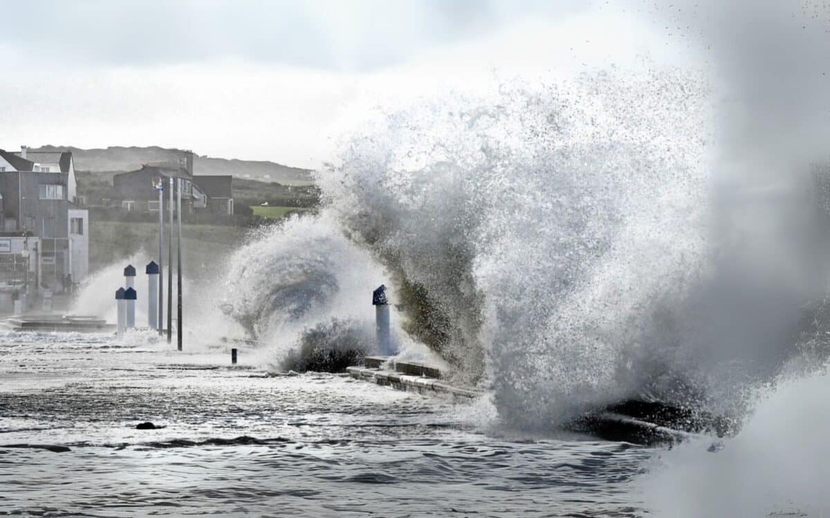
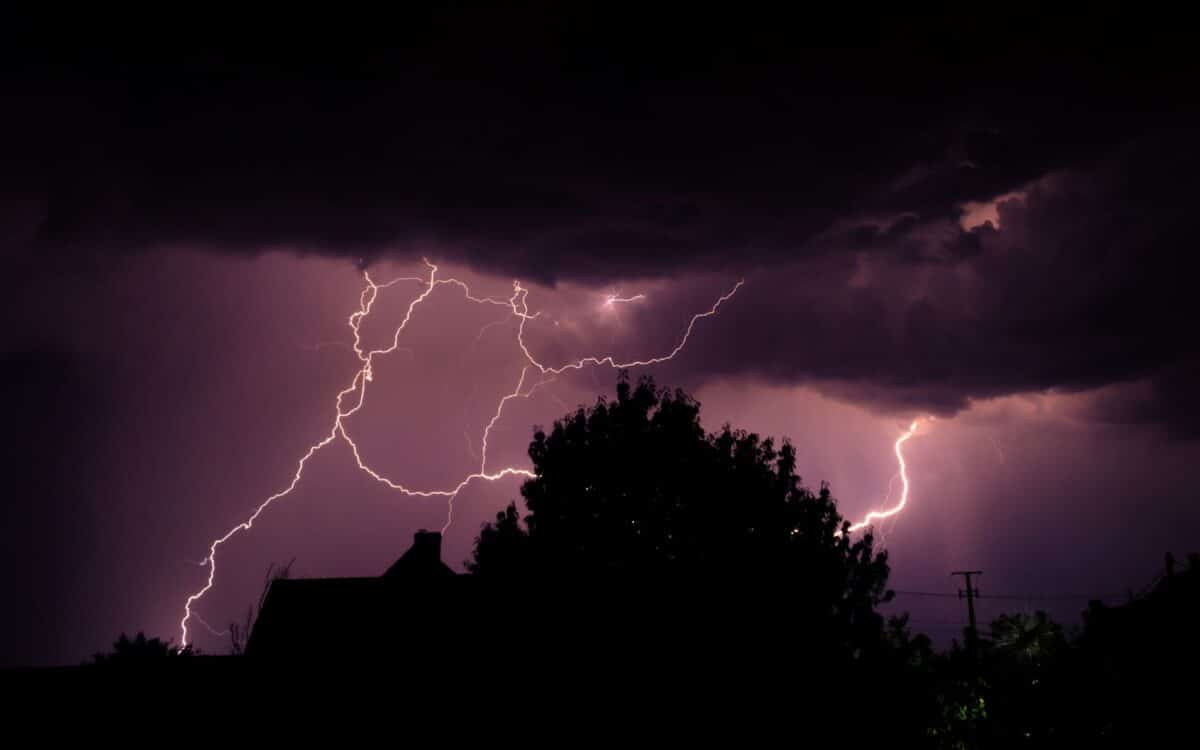
Thunderstorms Expected to Intensify This Evening
The Met Office warns of a significant change in weather patterns later today. Thunderstorms are forecast to develop, particularly in northern England, with possible weather warnings issued depending on storm activity and rainfall intensity.
According to chief meteorologist Dan Suri, unsettled conditions are increasingly likely:
By this evening, there is an increased risk of thunderstorms across northern areas, with the potential for some fairly wet weather. Whilst the exact location for these unsettled conditions remains uncertain, it’s possible a warning may be issued closer to the time.
Suri added:
Wednesday brings a more complex picture, with high temperatures but also the chance of thunderstorms arriving in the evening.
Further Disruption Expected Midweek
Although Wednesday is expected to be mostly dry in many regions, isolated storms are likely. According to Met Office meteorologist Marco Petagna:
Wednesday will be mostly dry with further very warm or hot sunshine, but we will see some showers… a few affecting Scotland during the day, which could turn heavy and thundery.
The Met Office anticipates the heaviest storms to affect Northern Ireland, Cumbria, and western Scotland, while widespread rain is expected across other areas through the night. On Thursday, particularly heavy rain is forecast across Wales and parts of the south.
Recent Heat Records and Climate Indicators
This summer has seen multiple high temperature records. The hottest day of 2025 so far was recorded on July 1 in Faversham, Kent, reaching 35.8°C. This surpassed the June 21 peak of 33.2°C, which occurred in Charlwood, Surrey.
The all-time hottest August day in the UK remains 38.5°C, also in Faversham, registered on August 10, 2003.
Ongoing Drought Concerns Despite Rainfall
Despite incoming storms, the national drought group — which includes the Met Office, government agencies, regulators, and water companies — has highlighted persistent water shortfalls. Five areas of England remain in official drought status, with six others classified as being in prolonged dry conditions.
These water deficits are having broad environmental and agricultural impacts, such as:
- Lower crop yields
- Reduced livestock feed
- Damage to wetlands and river ecosystems
- Rising wildfire risk


