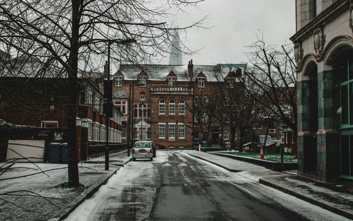
The Met Office has released new guidance indicating a notable change in weather patterns expected across the UK in the coming weeks. Forecast models suggest a gradual decline in temperatures through the second half of October, prompting meteorologists to monitor developments closely. While no snowfall is anticipated at this stage, the likelihood of frost and colder nights is increasing.
According to GB News, eastern Europe has already experienced major winter disruptions, raising questions about potential impacts further west. British conditions remain stable for now, but long-range projections point to a colder, more unsettled period as the month progresses.
Severe Snowfall Hits Eastern Europe, But UK Stays Snow-Free — For Now
In parts of eastern Europe, early winter conditions have already brought chaos. Thousands have been left without power in Serbia and Bosnia, with trees collapsing under the heavy weight of snowfall. Meteorologists in the region report that more than 50 centimeters of snow have already fallen in elevated areas, and warn that October snowfall records could be broken if the current trend continues.
In the UK, though, the story is different. A Met Office spokesperson has clarified:
There is currently no indication of snow in the forecast. The long-range forecast becomes clearer closer to the time, and currently suggests there could be settled conditions next week, thanks to high pressure, and possibly more unsettled weather later in the month.
Still, Britain won’t be spared the cold. Temperatures are expected to drop steadily from mid- to late October, with overnight lows forecast to reach -1°C in rural areas. According to the Met Office, these conditions could lead to early-morning frost and widespread fog, particularly where skies remain clear overnight.
Temperatures Near 20°C By Day, But Chillier Nights Loom Ahead
This weekend will bring a brief period of relative warmth, especially in southern England where daytime temperatures could be nearing 20°C. But nights are telling a different story, with much colder air pushing in.
Met Office meteorologist Alex Burkill explained:
There is some cooler air coming over the high, and there is the potential for some of this cooler air to cut in, particularly into eastern parts of the country. It is quite likely that we will stay under the influence of the high, but there is the potential this weekend for some chillier air to cut in.
He added:
“
By night, temperatures could get relatively low with a touch of frost in rural spots is definitely not out of the question. So, there may perhaps be a chillier feel.
The weather in the coming days will be heavily influenced by a high-pressure system moving across the country. Meteorologist Honor Criswick said:
High pressure will push its way eastwards into next week, and as it does this, we start to see a change in wind direction.
She added:
But it depends where the high pressure sits, as this will determine the weather and where we see the bulk of the cloud, and we could see some mist, fog and possibly some frost into next week. Where we see clear skies, that is where we are going to see temperatures dip away, and there will be some clear skies over the weekend.
Met Office Warns Of Strong Winds And Wet Weather Into November
Looking slightly further ahead, the Met Office expects the UK’s current spell of high pressure to break down, ushering in a period of more unsettled weather. According to the latest outlook, rainfall and potentially strong winds are expected to persist into early November, particularly in the north and west.
Although no snow is currently forecast, this incoming shift signals the beginning of a more volatile and seasonally typical British autumn. Rural areas should be particularly prepared for colder nights and early frost, while urban centers may still see lingering warmth during daylight hours.
The Met Office is urging the public to remain alert:
Keeping an eye on our forecast to stay up to date as October goes on,
A spokesperson said. As pressure systems shift and conditions fluctuate, clear skies and cold nights could become the norm—at least for the time being.


