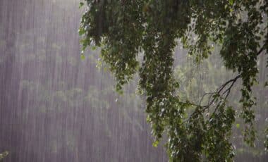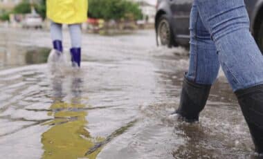
Scotland is facing a challenging start to the autumn season, with flood warnings in place for several areas and predictions of unsettled conditions throughout the week, according to the Met Office. After experiencing one of the hottest summers on record, the weather is quickly shifting, and residents should be prepared for storms and heavy rainfall on the horizon. The Met Office has issued warnings of blustery showers and potential thunderstorms, signaling a sharp contrast to the summer heat.
The Daily Record reports that the Scottish Environment Protection Agency (SEPA) issued multiple flood warnings following intense rainfall over the weekend. The Met Office has also warned of blustery showers and potential thunderstorms in the coming days, highlighting the change from summer heat to more unpredictable and cooler autumn weather.
Flood Warnings Across Scotland: Affected Areas
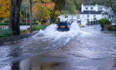
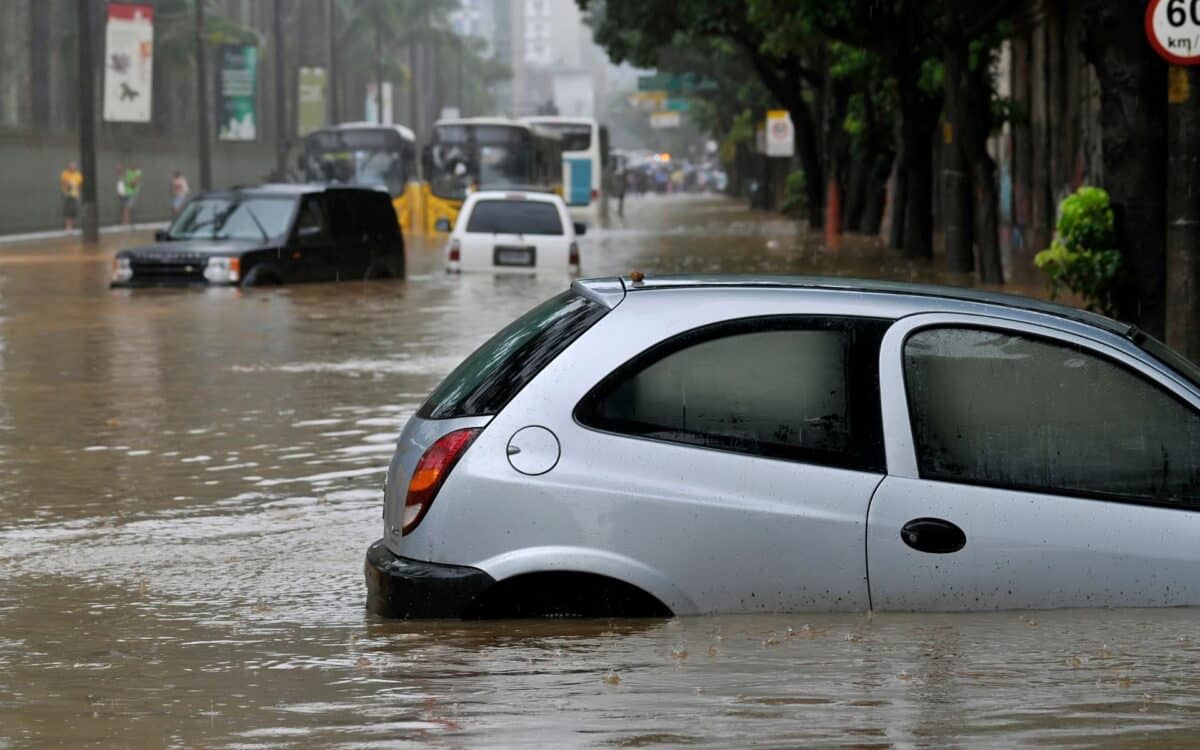
From September 6 to 7, 2025, Scotland experienced intense rainfall, leading the Scottish Environment Protection Agency (SEPA) to issue flood warnings for several areas. Specific warnings have been placed for Churchill Barriers, Baleshare, Glen Lyon, and Stornoway, with Stornoway facing particularly severe risks due to high tides and surge.
The SEPA issued the following warning for Stornoway:
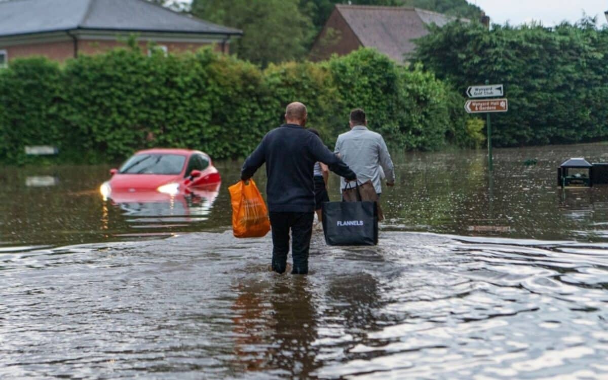
WARNING. Flooding is expected in Stornoway. Act now. The prevailing weather forecast, along with very high tides and surge, means that flooding from the sea is possible. Flooding is possible to Stornoway Harbour and low-lying roads and properties, particularly Newton St, Quay St, South Beach, and North Beach.
Along with Stornoway, the Western Isles have been placed under a less severe flood alert, where coastal areas remain at high risk due to ongoing strong winds and waves.
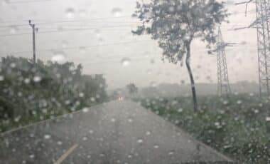
Thunderstorms and Blustery Showers in the Forecast
As autumn weather takes hold, Scotland can expect a shift from the summer’s heat to more unpredictable conditions. The Met Office predicts scattered showers across the west of the country on Monday, September 8, with a risk of thunderstorms later in the day. While the east will remain largely dry and sunny in the morning, these unsettled conditions are expected to spread throughout Scotland by the afternoon.
Liam Eslick, a Met Office meteorologist, explained:
It will be a fresh start to Monday morning, but a bright one, with plenty of sunshine to begin with. As the day progresses, we’ll start to see some daytime heating, and some showers will bubble up through into the afternoon. Some of these could bring thunder.
The forecast for the rest of the week is similarly unpredictable, with blustery conditions in some areas. Eslick added:
Some heavy showers are coming in from the south, and it could potentially be pretty blustery as well.
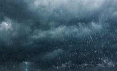
What Lies Ahead: A Week of Unsettled Weather
The Met Office also issued a detailed forecast for the rest of the week, from September 10 to 12, predicting heavy showers and prolonged periods of rain across Scotland. Although there will be some drier spells, the weather will remain blustery and cool, with a risk of further thunderstorms.
Eslick mentioned:
Things will start to turn a little more unsettled as we head through the week. More showers to come, potentially some thundery weather, and conditions will continue to cool.
Scotland has transitioned from the hottest summer on record to much cooler and wetter conditions. The summer of 2025 saw multiple heatwaves, with temperatures regularly surpassing 30°C, a rarity for the region. However, with the onset of autumn, these blustery showers and thunderstorms are a stark contrast to the extreme heat experienced earlier in the year.