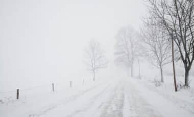
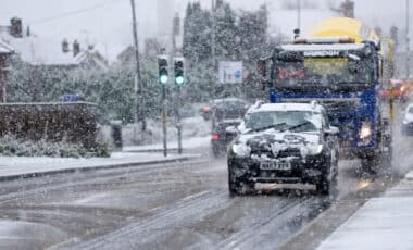
This shift from the heavy rain and gusty winds that have dominated the UK weather recently marks a clear transition into colder, wintry conditions. The Met Office has issued a series of warnings for next week, including the potential for snow, icy stretches, and sub-zero temperatures. As we approach the end of November, it’s clear that the UK is heading into a more unpredictable phase of winter.
Storm Claudia Brings First Chill of Winter
Storm Claudia, which battered parts of the UK earlier this week, has left a trail of disruption across roadways, railways, and homes. The storm’s combination of heavy rainfall and powerful winds, gusting up to 70mph in some areas, triggered yellow and amber weather warnings. According to the Met Office, Claudia caused significant flooding in several regions, leaving behind a saturated ground that could lead to additional challenges as the weather turns colder.
As the storm moves off, a new cold snap will sweep in, drastically changing the weather from the unseasonably wet and windy conditions to a more winter-like atmosphere. This forecast means that much of the country will experience below-average temperatures starting Tuesday, with a significant drop in temperatures expected as early as Monday night. For many, this marks the onset of the first frost of the season.
Potential Snowfall Across Northern Regions
As the temperatures drop, snow is a very real possibility, particularly for northern and higher-altitude areas. The Met Office has highlighted the likelihood of sleet and snow showers along north-facing coasts and hills, with some areas already seeing snow this weekend.
Northern Scotland has already experienced snow as the storm’s cold front pushed southwards. By mid-week, as the colder air spreads, areas such as Dumfries and parts of Wales may also experience snow. According to the Met Office, some places may see temperatures dip to -1°C, and with the increased wind chill, conditions will feel even colder. Travel disruption could follow, particularly in the northern parts of the country where road and rail services could be impacted by icy conditions.
In the weeks leading up to December, these wintry spells are expected to become more frequent. The likelihood of further snowfall will increase as we move into late November and early December, especially in the north, where temperatures will remain lower than the national average.
While snow may dominate the headlines at the start of the week, the forecast for late November indicates a shift towards more unsettled weather. As the cold front recedes, a milder, more changeable pattern is likely to take over, with rain and occasional hill snow affecting the northern regions, particularly as Atlantic systems push eastwards.


