The Met Office has issued a high UV level warning for Coventry and Warwickshire this week, revealing when UV levels are set to be at their highest. According to the Met Office, Thursday, July 31, is expected to be the warmest day of the week, with temperatures reaching a peak of 25°C. This rise in temperature brings an associated high UV level, urging caution for those spending time outdoors.
The Coventry Telegraph has highlighted that high UV levels are also forecast for Friday, though temperatures will be slightly lower at 23°C. Residents are advised to take extra precautions when exposed to direct sunlight.
High UV levels expected with start of August
The Met Office also forecasts that high UV levels will persist as August begins on Friday. However, temperatures will be slightly cooler, expected to reach 23°C. As Met Office experts suggest, the combination of sun and high UV levels means extra care is needed, especially around midday.
Today’s weather forecast
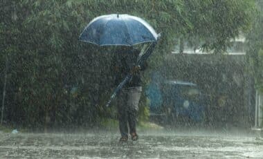
Today’s weather is expected to be somewhat cooler, with maximum temperatures reaching 20°C. A good deal of cloud will cover most areas, and occasional light showers are possible. While many places will remain dry, clearer skies are expected later in the day.
Tonight’s outlook
The Met Office predicts that isolated showers may occur this evening, but most areas should experience a dry end to the day with some late sunshine. Temperatures will drop to a minimum of 12°C overnight, with clear spells and light westerly winds.
Monday’s forecast
Looking ahead to Monday, Met Office forecasts a brighter day overall, with cloudy periods still likely. However, some sunshine is expected, along with light showers. Temperatures will warm up slightly compared to today, with a maximum of 23°C. Breezy conditions will affect some areas.