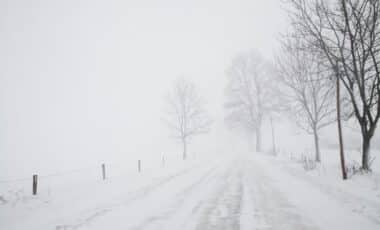
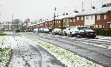
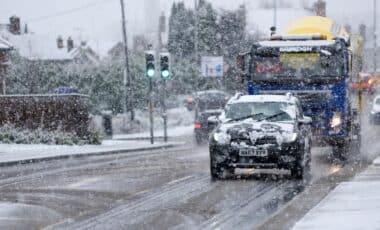
According to weather data from WX Charts, which uses advanced GFS modelling provided by the Met Office, the snowfall is set to intensify around November 19. While the amount of snow predicted is modest, the timing and extent could still have a notable impact on the region. Local authorities and residents alike are preparing for the wintry conditions, with the possibility of more widespread frost and fog also on the cards for southern counties.
Forecast Highlights: Snow and Cold Spells to Mark Early Winter
The early stages of November have seen temperatures dipping across the country, particularly in the south, where overnight frosts are expected. According to Netweather TV, early forecasts indicate a cold, settled spell for much of the country during the week of November 17–23. While high pressure is expected to dominate much of the weather pattern, the influence of northerly winds could lead to brief cold snaps, particularly in southern regions.
However, the situation is expected to evolve, with the weather set to become milder and wetter towards the end of the week. As pressure systems shift, lower pressure from the west could bring rain to the UK, raising the potential for unsettled weather across the country. The east, however, may continue to hold onto dry, colder conditions for longer.
Despite the uncertainty surrounding the latter half of the week, the initial forecast hints at clear skies early on, with sunshine totals expected to be above average for much of the country. This dry start will contrast with potential rainfall increases later in the week, particularly in the west.

What to Expect in the South: Snow and Accumulation Likely
In the immediate future, snowfall is likely to impact the southern counties of England, especially from mid-November onwards. Weather maps suggest snowflakes may accumulate in various regions, particularly in Devon, Dorset, Cornwall, and Somerset. Projections show that snow could fall at a rate of up to 3cm per hour, although accumulation levels are expected to be relatively modest.
Given the early timing of the snow, this will serve as a reminder that the winter season is fast approaching. The forecast also predicts the possibility of some fog, which, combined with freezing temperatures, could lead to hazardous conditions for drivers. With snow expected to stretch as far south as the coast, the effects of the cold spell could be felt across the entire southern region, especially for those living in higher altitudes. Local weather warnings may be issued as conditions evolve, particularly if heavy snow or ice accumulations lead to hazardous road conditions.
The combination of early snow and the potential for overnight frost is a reminder for residents in affected regions to stay prepared. It may not be an extraordinary snowfall event, but the wintry conditions could still lead to disruptions, particularly for those relying on transport networks. The shift in weather from dry to wet and cold to milder conditions also suggests that winter may arrive with a mixture of weather types over the coming weeks.


