An Arctic air mass is forecast to push into the UK just after New Year’s Eve, prompting concerns of widespread snowfall and severe frost across the country. According to data from WX Charts, the cold snap will begin around 7 January, with snow flurries anticipated from as early as 6am.
This shift in weather patterns is tied to cold air moving south from the Arctic, replacing milder conditions and bringing widespread wintry showers. Both the European Centre for Medium-Range Weather Forecasts (ECMWF) and weather experts have confirmed the possibility of snow in virtually all areas of the UK, including southern England and the Republic of Ireland.
Widespread Snow Accumulation Expected across the UK
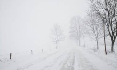
According to WX Charts, large parts of England and Scotland are set to receive substantial snowfall between early and mid-January. Flurries are predicted to sweep across regions ranging from the west to the north-east, with accumulation possibly reaching 30cm in some higher-altitude locations. Northern areas are likely to be hit hardest.
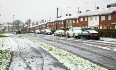
Snowfall will not be confined to the north. The Midlands could see snow reach up to 15cm, and parts of southern England, including Greater London, the Home Counties, and even Cornwall, may also receive measurable amounts. The system is expected to affect low-lying regions as well as hills, increasing the potential for widespread travel disruption.
Terry Scholey of Netweather explained that conditions would become increasingly wintry from Thursday onward, with showers turning to snow and a strong northerly wind setting in. “Initially you’ll see accumulations mainly on higher routes, but by evening snow will start to build even at lower levels,” he noted, adding that up to 10cm could fall by Friday morning in certain areas.
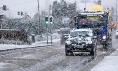
The snow could drift due to the strength of the wind, creating hazardous driving conditions. According to Netweather, regions under warning include the Highlands, Grampian, Tayside and Fife, along with Orkney and Shetland. Disruption is also expected across Northern Ireland and the Republic of Ireland.
Transport Delays and Power Outages Anticipated in Rural Areas
The Met Office and other meteorological sources have warned that this weather system could have a significant impact on infrastructure, particularly in rural parts of the UK. With wind-driven snow and rapidly dropping temperatures, many rural communities may face periods of isolation.
According to Netweather, the strongest snowfall is expected on high routes and hills above 200 metres, where snow depths of 20cm or more are possible. Scholey further warned that some rural communities “could find themselves cut off for a time,” with transport routes including roads and rail lines at risk of delays.
Power cuts are also a possibility, which could in turn affect mobile coverage in more remote locations. “Take care on icy surfaces too,” Scholey advised, highlighting the dangers not just to transport, but to pedestrians and public safety more broadly.
Patchy rain is expected to move southward on New Year’s Eve, but it will soon give way to the much colder Arctic air mass. According to Netweather, the arrival of this front will coincide with sharper frosts, icy surfaces and increasing risks of snow even at lower elevations across England and Wales. The UK government and emergency services are expected to monitor developments closely in the coming days, with public advice likely to follow if forecast models remain consistent.


