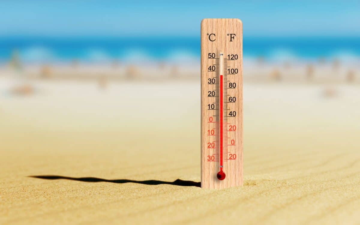
A prolonged heatwave is expected to develop across large parts of England during the middle of August, with Met Office forecast models pointing to potential peaks reaching 37°C. Meteorological data from WX Charts and the Met Office indicate that several regions could experience sustained warm conditions.
In a recent report, the Birmingham Mail highlighted model projections suggesting that up to 32 counties might be exposed to rising temperatures. The term heatwave may apply if the warm spell persists over multiple days. The exact timing and intensity of the heatwave face ongoing scrutiny as confidence in medium-range forecasts gradually increases.
Heatwave Conditions Building From August 15 to 18
According to the GFS outlook, the heat will begin to intensify on Friday, August 15, with a projected peak on Saturday, August 16, when parts of central England could reach 37°C. If elevated temperatures persist through Sunday, August 17, and Monday, August 18, the criteria for an official heatwave would be met across multiple regions.
Maps from WX Charts show widespread temperatures in the low to mid-30s°C throughout much of England, with central areas such as Warwickshire, Leicestershire, and Oxfordshire forecast to experience the highest values. The most intense heat of 37°C appears concentrated over central England.
32 Counties Set to Experience Elevated Temperatures
The projected high temperatures are expected to affect the following counties:
Lancashire, Cheshire, Greater Manchester, Staffordshire, West Midlands, Warwickshire, Worcestershire, Shropshire, Herefordshire, Northamptonshire, Leicestershire, Derbyshire, Nottinghamshire, Rutland, Cambridgeshire, Bedfordshire, Oxfordshire, Suffolk, Essex, Surrey, Berkshire, Wiltshire, Gloucestershire, Devon, Dorset, Sussex, Greater London, Hertfordshire, Somerset, Hampshire, and the Isle of Wight.
Many of these areas fall within the Met Office thresholds for heatwave classification, which vary regionally but generally require temperatures above 25–28°C for three consecutive days.
Met Office Forecast for August 10 to 19
In its long-range outlook, the Met Office states:
The start of this period may bring some strong winds and rain to the north of the UK before an Atlantic weather system erratically crosses all parts.
Ahead of this, potential for some very warm and humid weather to affect parts of the south and east in particular. Looking towards mid-August, and high pressure is more likely to dominate the weather across the UK.
This will bring plenty of dry weather for the most part, though northern areas may see a rather more changeable theme with occasional rain or showers and breezier conditions at times.
Above average temperatures are more likely than not, especially in the south, where it could also be rather humid.
These projections align with GFS-based model outputs showing increasing pressure systems stabilising over the UK, particularly from mid-August onward.
Continued Warm and Settled Weather Into Late August
In the following period, from August 20 to early September, the Met Office adds:
High pressure, and therefore largely settled conditions overall, appears more likely for the second half of August. Although dry weather is likely to dominate, periods of rain or showers and thunderstorms may develop at times.
Above average temperatures overall seem most likely, with the potential for hot spells to develop, especially in the east and south.
By early September, there are signals for high pressure to become less dominant with perhaps a greater chance of some rain, though there is some uncertainty in this aspect of the forecast.
These conditions could support additional hot periods, although their intensity and duration remain uncertain. Forecast confidence is expected to improve closer to the event.


