Thunderstorms, hail, and gusty winds are forecast to hit parts of the UK in early September, as low pressure dominates weather patterns. Meanwhile, despite a wet end to August, the country is on track to record its warmest summer since records began.
A shift in weather conditions is expected as meteorological summer draws to a close. The Met Office has issued a long-range forecast indicating a period of unsettled and changeable weather beginning on 1 September, with significant impacts likely for western and northern regions.
The final days of August are already bringing persistent rainfall and below-average sunshine, particularly across Wales, North West England and Scotland. But despite the wet conditions, temperature data suggests the UK has experienced its warmest summer on record, based on figures up to 25 August.
Early September Marked by Unstable Atmospheric Systems
According to the Met Office, low pressure systems will dominate the UK’s weather into early September, leading to widespread showers and prolonged periods of rainfall across much of the country. The forecast, which covers 1–10 September, suggests that “some heavy rain or showers are expected in places, most often in the west.”
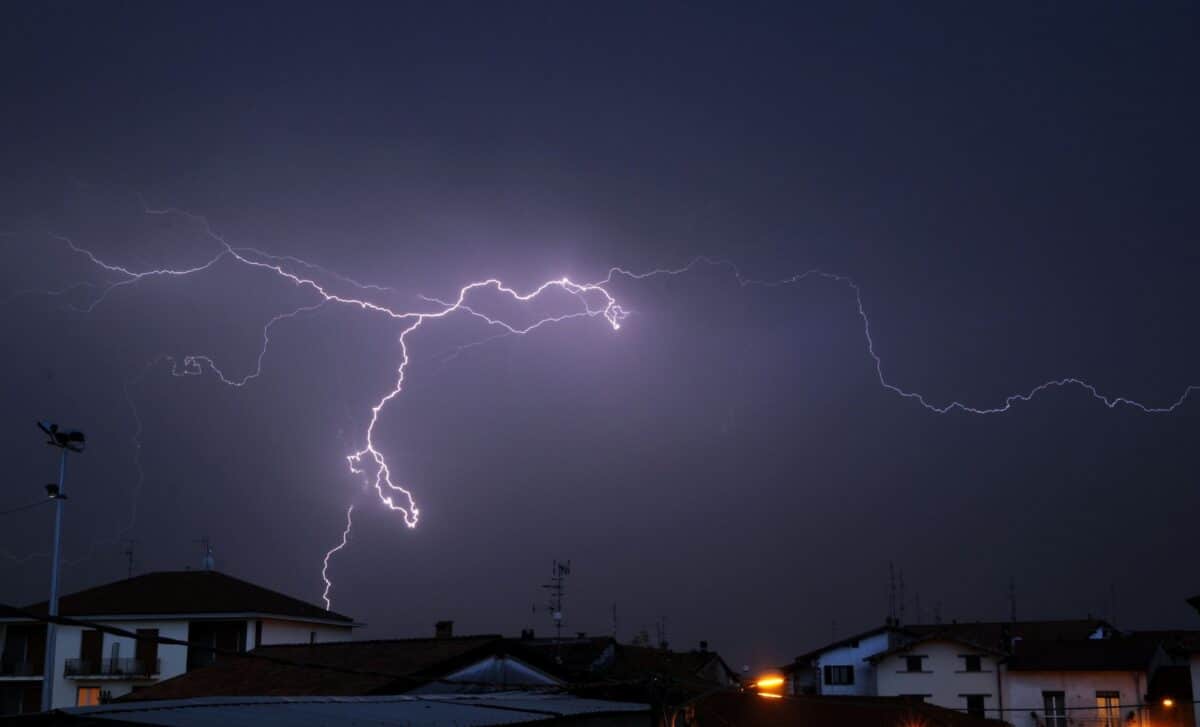
Thunderstorms and hail are possible, particularly in areas close to deep low-pressure centres. While no specific locations have been confirmed, these conditions could bring short-lived but intense weather episodes, along with localised strong winds. Coastal regions may be especially affected, with gusts potentially exceeding 50mph.
Although intermittent dry spells are not ruled out, the overall trend points towards below-average sunshine and cooler temperatures. National daytime highs are forecast to range from 15°C in Scotland and Northern Ireland to around 20°C in London and the South East, with temperatures likely to remain near or slightly below seasonal norms. The unsettled weather is also likely to disrupt travel and outdoor events in affected areas.
Warmest UK Summer Almost Confirmed Despite Late Rain
Despite the unsettled conditions closing the season, this summer is still expected to go down as the UK’s warmest on record. Data from the Met Office shows that, up to 25 August, the mean temperature stood at 16.13°C, surpassing the previous record of 15.76°C set in 2018.
Senior Met Office meteorologist Zoe Hutin stated that the recent drop in temperatures will have minimal impact on the seasonal average. “Temperatures have been sufficiently above average that the comparatively lower temperatures coming will not significantly affect the mean,” she explained.
Urban areas in the South East are continuing to experience temperatures slightly above normal for late August, while northern regions remain closer to average. If confirmed, the 2025 summer will become the sixth in the UK’s top warmest list since 2000, reinforcing ongoing discussions about climate trends and long-term warming patterns across the region.


