As stormy conditions persist, the UK is bracing for more weather disruption. With a series of yellow weather warnings in place, significant rainfall could cause transport delays, power outages, and damage to buildings. This marks a crucial period for both residents and local authorities to prepare for the worst impacts.
Persistent Rain Across Northern England and Scotland
The first of the Met Office’s warnings took effect in the early hours of Thursday, November 13, covering parts of the North East, North West England, and southern Scotland. According to the weather agency, persistent and heavy rain is expected to hit the region throughout the morning, with rainfall totals of up to 40-50mm in some areas. This level of rainfall, though less severe than other warnings in place for later in the week, could still lead to localized flooding and disruption.
Areas of particular concern include parts of Cumbria, Northumberland, and the Scottish Borders, which are likely to bear the brunt of the rain. The Met Office has advised that some places could experience disruption to travel and public services, particularly in rural and low-lying areas where drainage systems may be overwhelmed.
A spokesperson for the Met Office explained: “An area of rain, heavy in places, will move northwards across northern England overnight before slowly decaying over southern Scotland Thursday morning.” While the rain will ease later in the day, the risk of surface water flooding remains high, especially in more exposed regions.
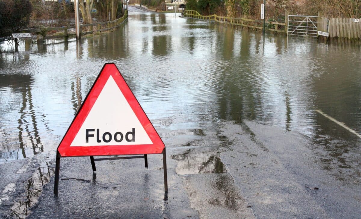
Widespread Rain Threatens Central and Southern Areas
The situation worsens from Friday, November 14, as an extended period of heavy rain begins to sweep across the country. The Met Office has issued further yellow warnings for areas in the East Midlands, East of England, London, and the South East, as well as the West Midlands, Wales, and parts of the South West. Prolonged and heavy rainfall is expected to last through Friday into the early hours of Saturday, with some regions predicted to receive up to 100mm of rain, particularly over east-facing hills in southeast Wales.
The persistent wet weather is expected to cause more significant flooding risks, particularly in areas such as Gloucestershire, Oxfordshire, and parts of Devon and Somerset. The Met Office has stated that “accumulations of 30-50 mm are expected quite widely, with some places receiving 60-80 mm, and potentially in excess of 100 mm over east-facing hills in southeast Wales.”
In addition to the heavy rain, the region will also face strong easterly winds, further exacerbating conditions. This combination of rain and wind is expected to cause disruption to transport networks, with surface water flooding likely to affect roads and railways. Local authorities are urging residents to prepare for potential flooding and to check flood warnings before travelling.
With the extended period of wet weather set to last for several days, it is vital for communities to stay alert and prepared. The Met Office has urged the public to check local weather updates and to plan travel routes accordingly. Those in affected areas should ensure they have an emergency flood kit on hand, including essential items like bottled water, a torch, and first aid supplies.
The government and emergency services have also advised people to avoid non-essential travel during the heaviest downpours and to take extra care when driving. Motorists should be aware of the potential for surface water flooding on roads and take necessary precautions.


