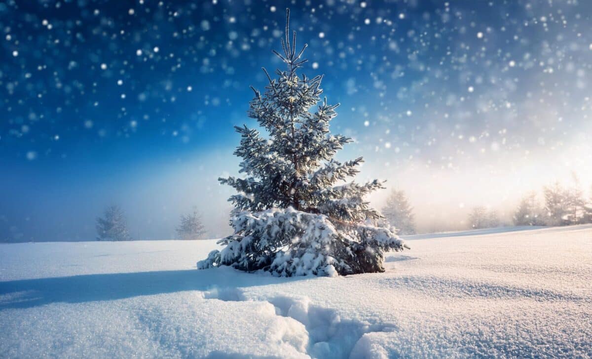
In its latest update, the Met Office emphasised that significant cold weather remains “less probable” during the Christmas period, though high pressure may bring drier, more settled conditions. The official declaration of a ‘white Christmas’ depends on a single snowflake being observed falling on Christmas Day at any official Met Office location.
Historic Trends Show White Christmases Are Rare and Limited
Since 1960, just four Christmas Days have brought widespread snow cover across the UK—in 1981, 1995, 2009 and 2010—according to Met Office data. While approximately half of all years since then have seen at least 5% of the weather station network record snow on 25 December, the definition used by the Met Office means the threshold for a ‘white Christmas’ can be met even with limited snowfall.
Nonetheless, the reality is often far from the postcard image many associate with Christmas. Most recorded instances of Christmas Day snow involve isolated flakes or patchy ground coverage. The last truly widespread snow on the ground was years ago, in 2010, when more than 40% of UK stations reported snow lying at 9 am.
Current Forecast Indicates Rain, Fog and Unsettled Conditions
As of this week, the weather picture remains mixed, with fog and heavy rain dominating much of the national outlook. According to the Manchester Evening News, the Met Office has issued Yellow Warnings for rain and fog across large parts of the UK, including Greater Manchester, the East Midlands, London, South Wales, and the South West.
On Wednesday (18 December), a band of heavy rain is expected to move eastward throughout the day, while southeastern areas may remain dry until evening. Further rainfall is forecast to follow into Thursday, particularly across southwest England and south Wales, maintaining the unsettled pattern.
Heading into the Christmas week, beginning Monday 22 December, forecasters expect high pressure to begin building over parts of the UK. This will likely bring more stable conditions, with dry spells, lighter winds and a dip in temperature. That said, the Met Office maintains that “any particularly cold conditions look unlikely at this stage.”
The extended outlook for 21–30 December points to a “broadly easterly flow” becoming more established, with rain or showers increasingly confined to southern regions. Frost, mist and freezing fog could become more frequent overnight, but any meaningful snow appears improbable for most areas.
While public curiosity around the prospect of a white Christmas grows each year, forecasters caution against speculation. Weather patterns remain dynamic and unpredictable during this time of year, and the presence or absence of snow on Christmas Day often hinges on localised conditions.The Met Office plans to issue more detailed short-term forecasts closer to the day itself. For now, it seems likely that much of the UK will experience a Christmas that is seasonally cold, occasionally damp, but lacking in festive snowfall.


