Following an extended spell of dry skies and sunshine across much of the UK, forecasters are now anticipating a notable shift in atmospheric conditions, as Atlantic systems begin to influence the national outlook ahead of the Bank Holiday.
The long-standing high-pressure system that has brought a prolonged period of calm weather is now gradually retreating, allowing cooler air masses and low-pressure systems from the Atlantic to gain ground.
According to Gloucestershire Live, this transition is expected to align with the late May bank holiday, pointing toward a more unsettled period across the country.
Although the finer details are still emerging, early indicators suggest a break from the spring patterns that have prevailed in recent weeks, with rainfall increasingly likely to return.
Abrupt End to Spring Sunshine
Meteorologists are warning of a rapid transformation in the UK’s weather outlook. According to Met Office meteorologist Aidan McGivern,
There is a significant change during the final week of May as low pressure arrives – He added
That last week of May could be wetter than average, so we are looking at a significant turnaround in our weather patterns for the last week of spring, having seen so much sunshine and dry weather. So, there is a very significant change on the way.
Up to mid-week, high pressure to the north is expected to remain dominant. McGivern noted:
Up until the middle of the week, the situation with high pressure to the north is almost exclusively the one that is being predicted by computer models. Then Atlantic lows are returning, and the changeover seems to happen around Friday and Saturday.
While the exact path of incoming systems remains uncertain, McGivern emphasised:
There is a lot of confidence that low pressure will indeed replace high pressure.
Weekend Forecast: Rain Likely for Many Regions
The coming days are expected to bring increasingly unsettled conditions. Jim Dale, from British Weather Services, stated :
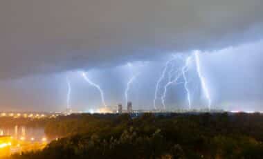
High pressure is on the way out and low pressure is on the way in. There is going to be a switch away from the fine spring weather to heavy rain and cloud, with the heaviest showers in the west – He also flagged the possibility of thunderstorms, calling it
A real change from the very dry and settled weather we have had so far this spring.
Jason Nicholls, lead forecaster for AccuWeather, offered a similar assessment for the week ahead:
There is a risk of isolated showers, some of which will be thundery, across southern England and Wales at the start of the week. Elsewhere will be dry and sunny, although additional rainy periods are expected later this week and into the weekend.
Cities including Manchester, Birmingham, Cardiff, Liverpool, Glasgow, and the Scottish Highlands are forecasted to be particularly affected by showers and low pressure systems.
Local Forecast for the South West
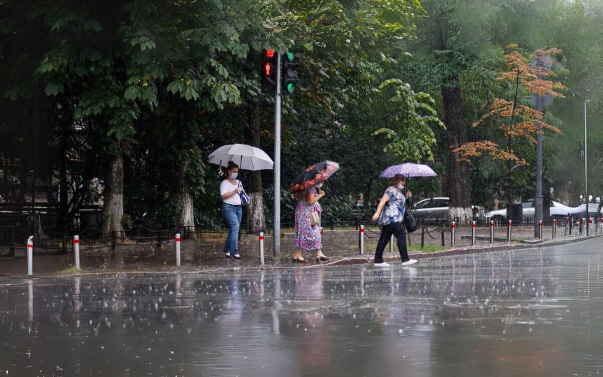
The South West Met Office forecast provides more detailed expectations for the coming days. Today will be cloudy with locally heavy rain during the morning, followed by afternoon showers that could be heavy and thundery, interspersed with some sunny intervals.
The maximum temperature is expected to reach 18 °C.
Tonight, showers will gradually fade, giving way to a dry night with clear spells. Mist and fog may develop in rural areas, and temperatures could drop to around 3 °C.
Thursday is forecast to be dry and warm, featuring sunny spells and light winds, with a slight chance of an isolated afternoon shower. The temperature may rise to 22 °C.
Looking ahead to the weekend, Friday should remain dry with sunny intervals following a chilly start.
On Saturday, cloud is expected to build from the west overnight, bringing outbreaks of rain that will move eastwards. By Sunday, this rain is likely to ease into scattered showers.
Unsettled Patterns to Dominate Late May and Early June
The UK long-range forecast, covering May 25 to June 3, suggests a notably more unsettled period. Showers or longer spells of rain are likely across the entire country, although occasional drier and brighter intervals are also expected.
For the Bank Holiday weekend, the prevailing narrative is one of “sunshine and showers.” The west and northwest will see the most frequent rainfall and could also experience windy conditions, while the southeast stands a better chance of remaining dry.
Temperatures are expected to hover near or slightly above average but may feel cooler due to persistent wind.