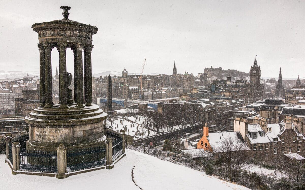
A significant Arctic weather front is set to sweep across the UK in the coming days, with temperatures plunging as low as -12°C in some areas and heavy snow predicted to blanket parts of Scotland.
Live weather maps from WXCharts reveal a 12-hour period of intense snowfall starting on December 30, bringing disruption to northern regions and creating challenging conditions into the New Year.
Snow to Blanket Northern Scotland
WXCharts indicates that a massive snow front will first affect northern areas, including Wick, Fort William, Portree, and Inverness. Accumulations of up to 25cm of snow are expected around Fort William, with temperatures dipping to -1°C during the period of intense snowfall. These conditions are predicted to extend into New Year’s Day, with as many as 15 counties experiencing significant snowfall.

The areas expected to bear the brunt of the polar blast include:
- Wick
- Inverness
- Aberdeen
- Aberdeenshire
- Moray
- Shetland
- Sutherland
- Kinross-shire
Further snowy conditions are forecast in:
- Midlothian
- Perthshire
- Peeblesshire
- Fife
Sub-Zero Temperatures Across Scotland
The cold spell is forecast to deepen into January, with WXCharts suggesting temperatures could plunge as low as -12°C around Fort William. Snow and ice warnings may be issued as conditions deteriorate, particularly in exposed and higher-altitude regions.
The Met Office has also forecast blustery showers through Sunday and Tuesday, with hill snow becoming more widespread across northern Scotland early next week. In contrast, areas in southern England, such as Gloucestershire, are expected to remain free of snow but will face foggy and misty conditions, with overnight lows of 4°C and daytime highs around 8°C.
Expected temperature ranges for the coming days include:
| Region | Daytime Highs | Overnight Lows | Snow Risk |
|---|---|---|---|
| Northern Scotland | -1°C to 2°C | -12°C | High |
| Southern England | 8°C | 4°C | Low |
Unsettled Weather Ahead: Snow and Cold Conditions to Impact the UK
As the New Year approaches, the Met Office has outlined an increasingly unsettled outlook. Snowfall across Scotland on December 31 is expected to intensify and may spread southwards into other parts of the UK by midweek. Alongside the snowfall, colder conditions are expected to prevail more widely across the country, potentially disrupting travel and daily life.
Speaking on the period from December 31 to January 9, a Met Office spokesperson said:
“An erratic change from the mild and largely settled conditions of the past few days is expected. Rain, stronger winds, and snow already across Scotland may on Tuesday become more severe and start to push southwards through the middle part of next week.”
Transition to Milder Weather: A Look Ahead for January
While severe weather is likely to dominate the start of January, a more settled pattern is expected later in the month. The Met Office predicts a gradual recovery in temperatures, returning to near-average levels for the time of year, or even milder conditions in some areas.
However, confidence in longer-term details remains low, with the wettest and windiest weather likely to persist in the north and west, while southern and eastern regions may see more settled conditions.


