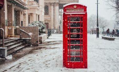
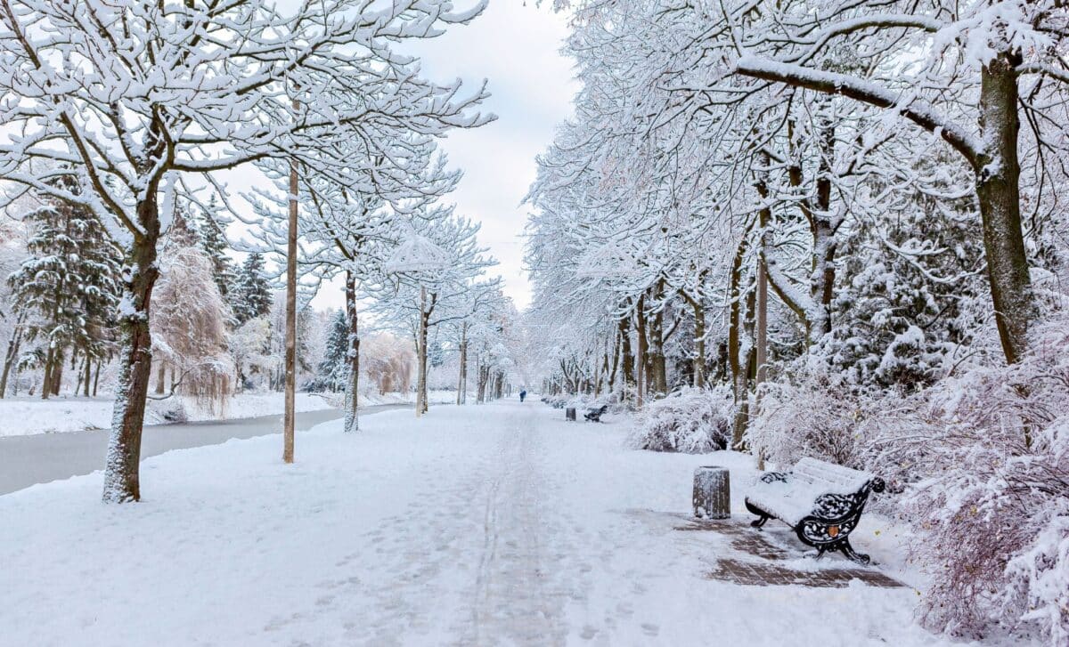
The development has raised questions about the possibility of a white Christmas and colder conditions later in the winter. El Niño can influence atmospheric circulation, including the polar vortex, which has previously been associated with severe cold spells in Britain. Yet the Met Office’s historical figures show that January and February are generally snowier than December.
El Niño Strengthens As Pacific Temperatures Approach Record Levels
El Niño is a naturally occurring climate phenomenon characterised by unusually warm sea-surface temperatures in the central and eastern equatorial Pacific Ocean. It typically occurs every two to seven years and can influence weather conditions across much of the world.
According to the Mirror, the WMO expects sea-surface temperatures in the central and eastern tropical Pacific to reach record levels during October, November and December 2026, reflecting the rapid strengthening of the current event.
WMO Secretary-General Celeste Saulo said: “El Niño is firmly established and strengthening rapidly. WMO forecasts indicate a near-100 per cent likelihood that it will persist through February 2027, potentially being one of the strongest since at least 1950.” The assessment reflects agreement among 13 national and international forecasting centres, using information gathered from ocean buoys, satellites and radiosondes.
The seasonal average sea-surface temperature anomaly is forecast to reach approximately +3.7°C, with a peak expected around December. That would exceed the previous record of +2.6°C, observed between November 2015 and January 2016.
Strong El Niño events are also associated with higher global average temperatures as additional ocean heat enters the atmosphere. The Met Office notes that the current event is developing against the background of long-term human-induced climate change.
Met Office Explains When Snow Is Most Likely Across Britain
While El Niño can increase the likelihood of wetter and stormier conditions across north-western Europe during autumn and early winter, its influence on colder weather becomes particularly relevant later in the season.
According to the Manchester Evening News, the Met Office has explained that Christmas falls near the beginning of the period when snow becomes more likely across much of the UK.
“We are more likely to see snow in January and February than in December,” a Met Office spokesperson said.
Historical averages covering 1991 to 2020 show that snow lies on the ground for 3 days in December, compared with 3.3 days in January, 3.4 days in February and 1.9 days in March.
Another consideration is the polar vortex, a circulation of strong westerly winds surrounding cold air high above the Arctic. Research from NOAA’s Chemical Sciences Laboratory indicates that El Niño tends to favour its breakdown, particularly during late winter.
Such disruption can increase the likelihood of sudden stratospheric warming events, which sometimes allow colder conditions to develop across Europe. The Met Office has linked several notable British winter episodes to these atmospheric disturbances, including those in 2009–10, 2013 and the 2018 “Beast from the East”.
The winter of 2009–10, Britain’s coldest in three decades at the time, coincided with El Niño. Yet the winter of 2006–07 was also influenced by El Niño and remained unusually warm, illustrating the variation between individual events.