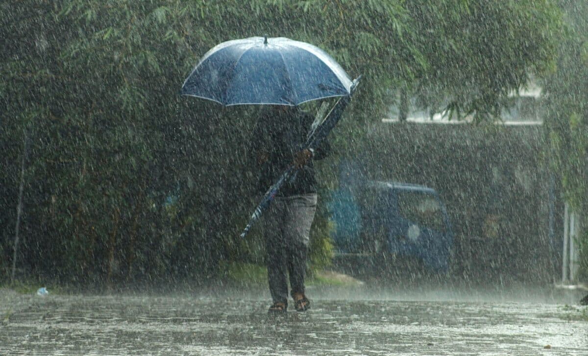
Britain’s brief flirtation with spring warmth will soon give way to stormy weather systems sweeping in from the Atlantic. After a period of unseasonably high temperatures, the country is bracing for heavy rain, strong winds, and a sharp drop in temperatures as a cold front moves in.
While Britain’s southern regions basked in sunshine and warmth over the weekend, the pleasant conditions will not last long. According to Met Office meteorologist Aidan McGivern, a shift in the weather is expected mid-week, as a cold front approaches, bringing more unsettled weather. This will mark a sudden end to the brief taste of spring, with much colder and wetter conditions on the horizon.
Temperatures to Plunge as Storms Approach
According to meteorologist Jim Dale, temperatures are set to drop significantly later this week as cold air from the North Pole pushes across the UK. After record-breaking warmth in London, with temperatures reaching nearly 19°C over the weekend, parts of the country will experience a sharp decline. By the end of the week, thermometers will show sub-zero readings, especially in the northern regions.
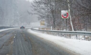
The cold front, powered by the jet stream, will bring not only a chill but also a series of rainstorms. The jet stream’s shift into a more flattened shape will allow storm systems to move in from the Atlantic, intensifying the unsettled weather. The effects will be particularly felt in northern Britain, where wintry showers are likely to hit the higher ground. As a result, parts of Scotland could experience snow, while much of the rest of the country will face rain, wind, and much colder temperatures.
Met Office forecasts suggest that the freezing conditions will initially affect Scotland, with temperatures plummeting first there before spreading southward. According to McGivern, the cold blast will mark the end of the brief spell of mild weather and herald the return of winter-like conditions for many areas of the UK.
Weather Systems to Bring Unpredictable Conditions
As the cold air moves south, the UK will experience a battle between low-pressure systems from the west and high pressure to the east. This clash will result in even more unpredictable weather, with multiple storm systems set to pass through Britain over the coming days. As meteorologist Annie Shuttleworth explains, the building Azores High to the south of the UK will block some of these systems, but they will still make their way towards the country, bringing more rain and wind.
According to McGivern, these systems are unlikely to be stalled by the usual high-pressure patterns. Instead, they will move through at a faster pace, bringing fast-changing conditions throughout the week. The increased frequency of frontal systems will mean that the UK will experience periods of rain and stronger winds, followed by brief moments of sunshine. This dynamic pattern, where weather can change in a matter of hours, will make the rest of the week highly unpredictable for Britons.
By the weekend, many parts of Britain will be under the influence of the Polar front, pushing colder air across the country. This change in weather patterns could lead to another shift in the country’s conditions, with unsettled weather expected to persist into the start of March.