Storm Pedro is set to sweep across parts of the United Kingdom, bringing further spells of rain, hill snow and gusty winds. While the system is expected to have a greater impact in France and the Iberian Peninsula, forecasters have issued several yellow weather warnings across the UK.
The warnings cover heavy rain in southern England, snow over higher ground in Wales and the West Midlands, and strong winds in Northern Ireland. Travel disruption is possible in affected areas, with forecasters also cautioning about flooding and icy surfaces before a turn to milder weather later in the week.
A weather system named by Meteo France, Storm Pedro is forecast to affect Britain through Wednesday and into Thursday. According to Sky News, the naming originates from the French meteorological service, where the storm is anticipated to have a more significant impact.
Across southern England, a yellow warning for heavy rain is in place from Cornwall to Kent until 8am on Thursday. The Met Office expects 10–20mm of rain to fall widely, with up to 30mm near the south coast and as much as 50mm over Dartmoor in Devon, according to Sky News. Many in the south faced a notably wet start to Wednesday as bands of rain moved through.
Rain, Snow and Wind Warnings across Multiple Regions
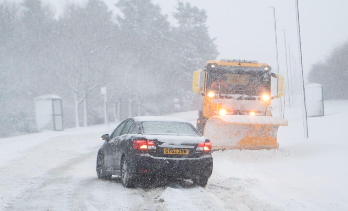
Further north and west, separate yellow warnings have been issued for snow in Wales and the West Midlands from 4pm on Wednesday until 6am on Thursday. The snow is expected mainly over hills, with accumulations largely confined to higher ground.
According to The Independent, the Met Office has warned of the potential for rain and snow to affect parts of Wales, central England and the southern Pennines during Wednesday evening and overnight into Thursday. Some ice may develop on untreated surfaces in parts of Wales and western England as temperatures fall close to or slightly below freezing.
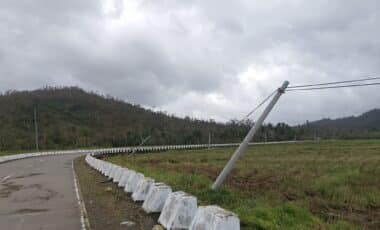
Northern Ireland is also under a yellow warning until 8pm on Wednesday. Outbreaks of rain, hill snow and strong south-easterly winds are forecast, with gusts of 45–55mph in places, particularly during the morning. Rainfall totals of 10–15mm are predicted fairly widely, with 20–30mm possible in some southern and western areas, according to the same source.
The Met Office has indicated there is a small chance of travel delays on roads, along with delayed or cancelled rail and air services. There is also a slight risk of power cuts in rural communities.
Cold Health Alert in Force as Temperatures Set to Rise
Alongside the weather warnings, a cold health alert has been issued for much of England. The alert, from the UK Health Security Agency, runs until 6pm on Friday and covers the South West, the Midlands, the North East, the North West and Yorkshire and the Humber. According to Sky News, the agency warned that the cold weather is likely to pose “a greater risk to life of vulnerable people” and may lead to increased demand for healthcare services.
Despite the unsettled conditions, forecasters say a change is on the way. Senior Met Office meteorologist Craig Snell said that by late Thursday the winds should clear, adding that temperatures are expected to feel “much, much milder” by the weekend. Highs could reach the low to mid-teens if sunshine develops, with 14C forecast in Exeter on Saturday, according to The Independent. While further spells of wind and rain remain possible, most areas are expected to see a noticeable uplift in temperatures as the weekend approaches.