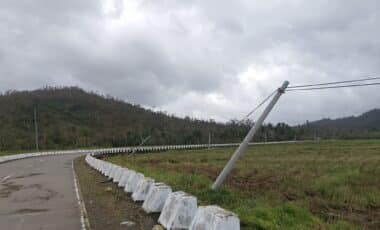
The warning, issued by the Met Office, runs until 10am on Sunday, with additional alerts for parts of eastern England later in the day. At the same time, the Environment Agency reports widespread flood risk, urging residents to remain vigilant as weather systems move eastwards across the country.
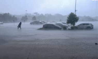
The combination of snowfall, icy surfaces and existing floodwater presents a complex picture for travellers and local authorities. According to official updates issued on Sunday morning, 74 flood warnings and more than 160 flood alerts are in place across England.
Snow and Ice Warning Covers Large Areas of Britain
The yellow warning stretches from Derby northwards across most of Scotland. According to the Met Office, snow may be “heavy at times”, with accumulations of 1–3cm possible at low levels, 3–7cm above about 150 metres, and as much as 10–15cm above 400 metres.
The agency states that areas sheltered to the north of high ground may see very little snow, while ice poses an added hazard, particularly across north-east England and parts of Scotland. There, precipitation could fall on frozen ground, creating “very slippery conditions”.
A separate snow warning has been issued for parts of eastern England from 10am until 4pm on Sunday. The Met Office says rain moving eastwards is likely to turn increasingly to sleet and snow, bringing slushy accumulations of around 1cm, with a chance of 2–4cm if snowfall briefly intensifies. This is considered more likely over the Lincolnshire Wolds and parts of Norfolk and Suffolk.
Meteorologist Greg Dewhurst said there would be a blustery start to Sunday for many areas, with outbreaks of showery rain and some hill snow. Snow is expected to turn increasingly to rain through the morning, possibly as a short spell of freezing rain in places, before clearing eastwards and allowing a steady thaw to set in.
Temperatures are forecast to vary significantly. Milder air moving into the south-west could bring highs of 12C in Cornwall and Devon, while eastern areas are expected to see temperatures closer to 4C or 5C.
Flood Warnings Remain in More than 70 Areas
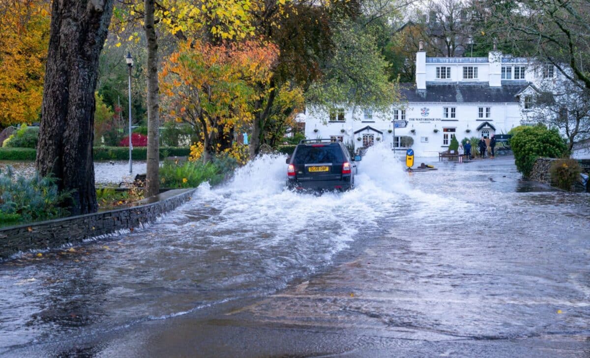
While snow and ice create short-term disruption risks, ongoing flooding remains a serious concern. According to the Environment Agency, 74 flood warnings, meaning flooding is expected, and more than 160 flood alerts, meaning flooding is possible, were in place across England on Sunday morning.
Jonathan Day, flood duty manager at the agency, said more than 24,000 homes and businesses have been protected during the recent period of high water. Around 330 properties have nonetheless been flooded. The agency has urged the public to remain vigilant amid the continuing risk. Several warnings expired on Saturday, yet river levels remain elevated in many catchments following sustained rainfall.