A broad area of the UK is facing a sharp drop in temperature and the threat of hazardous road conditions, as the Met Office warns of widespread freezing fog and ice. From Sunday night into Monday morning, yellow weather alerts have been activated across 42 areas.
The warnings come amid heightened attention to weather developments, with reports of snowstorms expected later in the week. For now, however, the immediate concern lies with untreated surfaces, patchy visibility and the impact of overnight temperature drops.
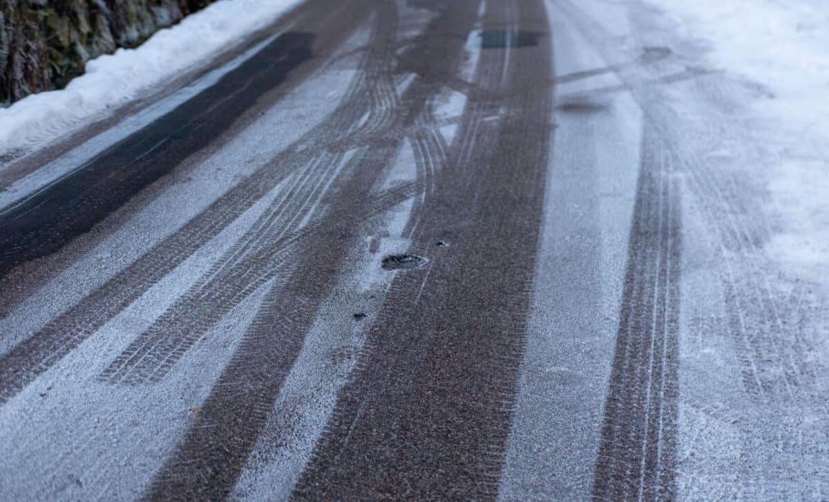
Yellow warnings issued across 42 regions due to freezing fog and icy surfaces
According to the Met Office, yellow ice warnings came into effect from 9pm on Sunday night and remained in place until 9am on Monday morning. The alert was prompted by recent rainfall and a rapid temperature fall that could cause ice formation on untreated roads and pavements. These conditions are expected to particularly affect early morning commuters and those travelling during the night.
The phenomenon of freezing fog (a low-lying cloud containing water droplets that freeze upon contact) poses an additional hazard. The Met Office noted that “a few freezing fog patches may pose an additional hazard”, particularly in western parts of the country where ice risk is prolonged due to limited sunlight and lower temperatures.
The regions affected include multiple parts of south west England, such as Devon, Cornwall, Dorset, and Wiltshire. In Wales, areas like Cardiff, Pembrokeshire, and Swansea are also under alert. Northern Ireland is not exempt, with County Antrim, County Down, and County Londonderry all named in the advisory.
The Met Office explained that cloud cover moving in from the east could lead to some temperature recovery later in the night, but not enough to eliminate the ice risk altogether. “It will likely remain cold with an ongoing ice risk in western areas into the morning commute hours,” the agency stated.
Snowstorm remains a separate event expected later in the week
Although some media reports have linked the current conditions to a larger snow system, the freezing fog alert is distinct from the potential snowstorm forecasted for later in the week. The GFS weather model (widely used in forecasting) has indicated that a snow front could move in from the east by 5 February, initially affecting London, East Anglia, and parts of Scotland.
According to Birmingham Live, this forthcoming snow is being unofficially dubbed a “Beast from the East”, but the Met Office has not yet issued formal warnings for the event. At present, the yellow alert strictly applies to the freezing conditions overnight and into Monday morning, not to any snow-related risks.
The present advisory serves as a standalone warning aimed at ensuring the public takes precaution during what may seem like an otherwise normal winter morning. Although the weather pattern may evolve through the week, the Met Office’s communication has remained clear in distinguishing each advisory based on immediate conditions and not on speculation. Given the scope of the areas affected, travellers and local authorities are advised to monitor updates and proceed with caution, especially in rural and poorly gritted routes.