As Britain moves deeper into winter, a notable change in weather patterns is poised to unfold across the country. The Met Office has issued a series of warnings indicating a growing risk of snow, particularly in elevated parts of Scotland and northern England, as the UK sits between conflicting weather systems.
The clash between milder Atlantic air and colder continental influences is expected to dominate the outlook over the coming days. While much of the south and west may remain wet and breezy, areas further north could see snow, sleet, and icy conditions, heightening travel risks and public safety concerns.
Snow Forecast Intensifies in Northern Regions Amid Colder Spell
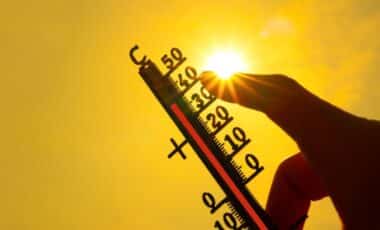
The Met Office has forecast a significant drop in temperature across the UK, beginning late this week and continuing into early February. According to its 10-day forecast, colder air is likely to extend across the country, increasing the risk of snowfall, particularly on higher ground in Scotland and northern England.
This pattern is driven by a persistent “battleground” scenario between incoming Atlantic weather systems and high pressure situated to the north and northeast of the UK. This configuration is causing the Atlantic fronts to stall, leading to prolonged periods of rain in some areas and the potential for snow in others. According to the Met Office, “further spells of rain or showers are likely at times, which may be heavy and persistent, especially in the south and west… it is likely to turn somewhat colder through this period, bringing the risk of some snow.”
Parts of Aberdeenshire, the Highlands, and Perthshire are particularly at risk, with the forecast showing flurries beginning Thursday evening and continuing into Friday. Locations such as Huntly, Aberlour, Dalwhinnie and Pitlochry are expected to see wintry precipitation, potentially affecting transport and daily routines.
Icy Conditions and Flooding Pose Additional Risks in Scotland and Beyond
Alongside snow warnings, the Met Office has issued multiple yellow alerts for ice and rain across Scotland. A fresh warning for ice was issued early Monday morning for parts of the Highlands, including Inverness, Dingwall, and Beauly. Light showers falling onto frozen surfaces are expected to create hazardous conditions, particularly where roads and paths remain untreated.
The warning, which was in place until 9am, included advice on the potential for injuries from slips and falls, as well as travel delays. According to the Met Office, “light showers are pushing across the warning area, these falling onto frozen surfaces and leading to the risk of icy patches, particularly where surfaces are untreated or treatment has been washed away.”
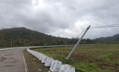
Further south, a 48-hour rain warning is also in effect from Wednesday afternoon through to Friday. Regions affected include Angus, Dundee, Fife, Aberdeen, and parts of the Grampian and Tayside areas. The rainfall, particularly over high ground, could result in localised flooding. Rainfall accumulations of up to 120mm are expected in exposed locations, according to the latest update.
Forecasters also caution that heavy rainfall on already saturated ground may exacerbate the risk of flooding. Wind gusts of up to 65mph have also been predicted in southwest England and Wales, further increasing the potential for disruption. According to Met Office chief forecaster Paul Gundersen, “A spell of strong winds and heavy rain is expected… Heavy rain accompanies these winds and could bring some disruption to vulnerable places such as Cornwall, which is still feeling the effects of Storm Goretti.”