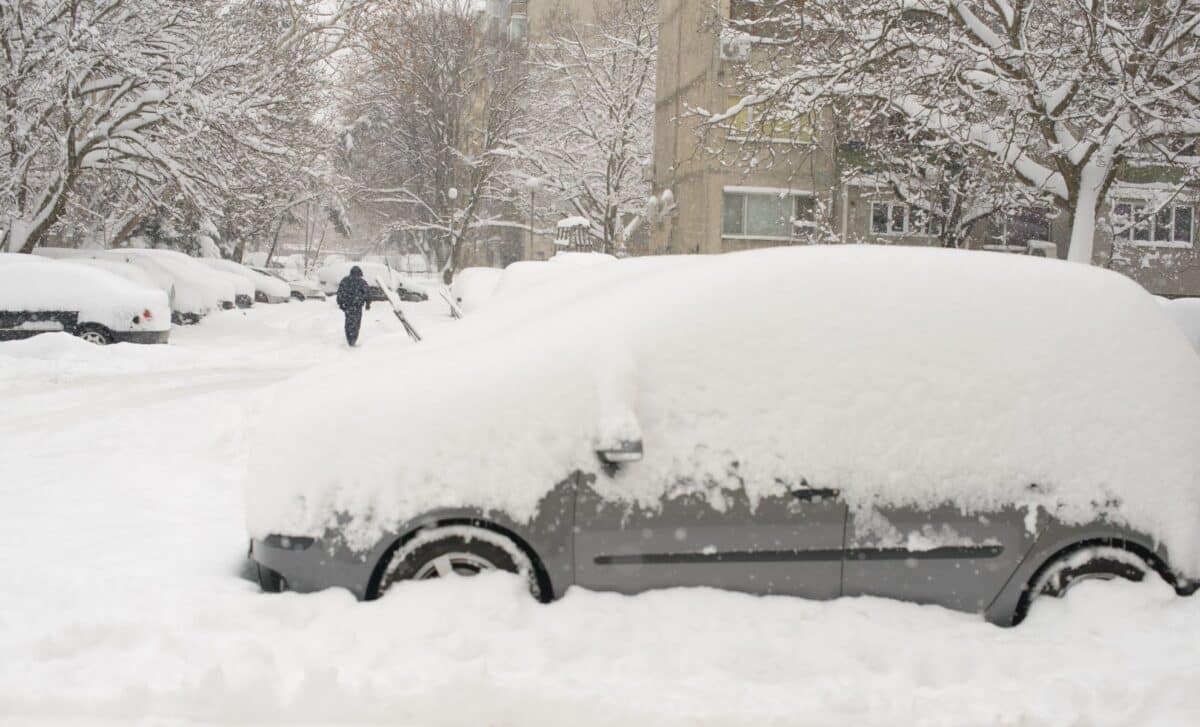
Freezing conditions have taken hold across much of the UK as a mass of Arctic air continues to dominate the weather pattern. Heavy snowfall has been recorded in parts of Scotland, Wales, and northern England, prompting transport cancellations and power outages.
The Met Office has issued multiple yellow warnings for snow and ice spanning from northern Scotland to the southwest of England. These alerts, in place since the start of the weekend, are expected to last until midday on Monday in most regions.
Widespread Transport Disruption and Power Outages Across Affected Areas
Heavy snow accumulation, freezing temperatures and strong winds have combined to create hazardous travel conditions in many parts of the UK. According to the Met Office, parts of northern Scotland have seen snow depths of up to 37 cm in Tomintoul, while lower-lying areas across England and Wales have recorded between 2 and 5 cm. Roads and railway lines have been particularly affected, with ScotRail cancelling several services in the north, including routes through Wick and Inverness.
Air and rail networks elsewhere have also faced delays and cancellations. According to official warnings, untreated roads, pavements and cycle paths may be impassable, and there is a high chance of injury due to icy surfaces. The Met Office has cautioned that “some rural communities could become cut off”, and noted the possibility of power cuts and weakened mobile phone coverage in affected regions.
The cold air, pushed in by strong northerly winds, has caused temperatures to plunge across the UK. Loch Ness recorded a low of nearly -6°C on Friday night, and overnight temperatures in parts of northern Scotland could reach between -10°C and –17°C. Daytime temperatures remain in the low single digits across much of the country, with no significant thaw expected before Monday.
Cold Spell Expected to Linger Before Easing Early Next Week
The current Arctic air mass is forecast to remain over the UK until at least the start of the new week. According to the Met Office, snow showers are expected to persist into Monday morning, particularly around coastal areas, although wind speeds are likely to ease somewhat by Sunday. Inland regions are forecast to stay below freezing throughout the weekend, preventing the snow from melting and contributing to dangerous icy conditions.
Further snow accumulation is likely before conditions improve. The Met Office states that low-lying areas may see up to 5 cm of additional snow by Monday, while regions above 200 metres could receive between 15 and 30 cm. Temporary blizzard conditions and snow drifting are possible due to strong winds, particularly in the northwest Highlands and the Grampians.
Lightning near showers has also been identified as a potential hazard. The yellow warning currently covering large areas of Northern Ireland, Scotland, Wales, and England highlights a medium impact with a low likelihood. Updated warnings have extended into new areas including the East Midlands, North West England and South West England, with additional detail issued as conditions evolve.
While multiple weather alerts remain in effect over the weekend, the Met Office confirms that by 6 January, only one warning will still be active as the Arctic front begins to move away. Britons are urged to stay updated with regional forecasts and take extra precautions while travelling or planning activities.