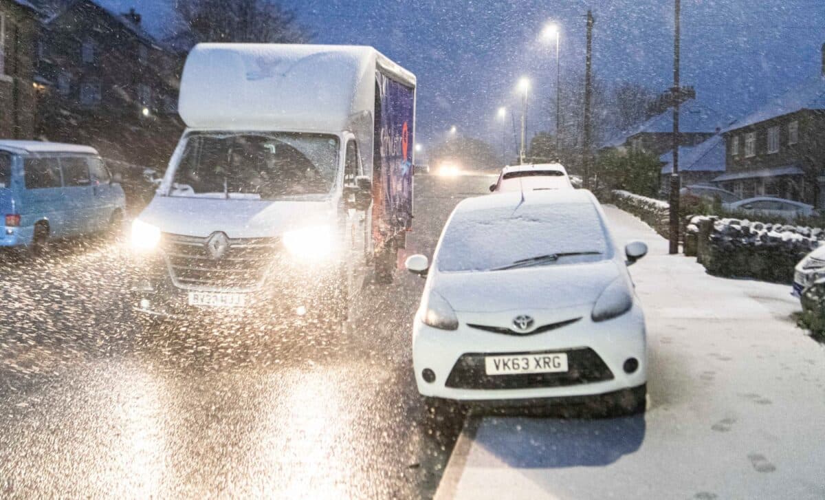
As the UK prepares to enter the first weeks of 2026, forecasters are warning of a shift from the relatively mild conditions of December to a colder, more unsettled pattern. Temperatures are expected to drop sharply, with overnight lows below freezing in parts of northern England and Scotland.
The Met Office has raised concerns over potential “wintry hazards” during the first ten days of January, as low pressure systems and colder air interact across the UK. The risk of snow is particularly noted in northern and coastal regions, with cold and showery conditions spreading further inland at times.
Forecast Indicates Below-Average Temperatures and Possible Snow in Early January
The Met Office has forecast that an area of low pressure moving through the North Sea will bring rain and showers southward across the UK in the opening days of January. This will be followed by a pattern of high pressure centred to the northwest and low pressure to the east, creating a northerly airflow. According to the Met Office, this change is likely to result in “a fairly settled period,” but will also carry “some wintry hazards, including perhaps snow to low levels, to north-facing coastal areas at times.”
While the majority of the country may experience dry conditions, the forecast notes that “showers will likely spread further inland at times and there may be some windier periods with more prolonged rain.” Temperatures are expected to remain “below average for much of the period,” though a slight return to near or above-average conditions is possible later in the month.
The BBC’s weather outlook for January 5 to 11 supports the possibility of snowfall in higher elevations, particularly across the Highlands. The forecast mentions that frontal systems from the Atlantic could bring increased precipitation, which will fall as rain in most areas, “although some snow is possible at higher elevations,”. Northern and western regions are anticipated to be wetter than the south and east during this phase.
Settled but Cold Conditions Expected to Persist through Mid-january
As the month progresses, high pressure is expected to maintain a relatively stable weather pattern. According to the Met Office, this means “periods of relatively settled weather interspersed with more changeable interludes are likely.” This includes some spells of showers, particularly in coastal regions, but with fewer storm systems than usual for this time of year.
In the immediate lead-up to the New Year, the UK will continue to experience cloudy but largely dry conditions. The Met Office has stated that high pressure “continues to bring settled weather until the end of the year,” with chilly days and “further overnight frosts in places.”
While uncertainty remains over the exact placement and movement of weather systems, early January is shaping up to be markedly colder than December, with a realistic possibility of snow in exposed and higher locations.